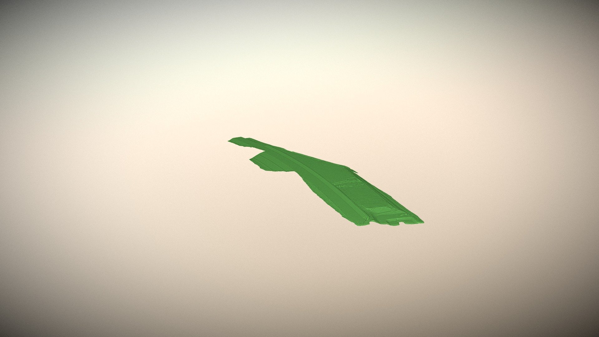
HIGHWAY SURVEY
sketchfab
Construction teams working on a massive highway project are utilizing advanced 3D surveying techniques to map out the complex terrain and infrastructure. This cutting-edge method allows engineers to create highly accurate digital models of the site, streamlining the construction process and minimizing potential errors. By employing 3D scanning technology, workers can precisely capture the layout of roads, bridges, and other features, enabling them to make informed decisions about excavation, excavation, and material placement. The detailed digital representations also enable project managers to monitor progress, detect anomalies, and identify areas where adjustments are needed. This proactive approach not only speeds up construction but also reduces costs by minimizing waste and rework.
With this file you will be able to print HIGHWAY SURVEY with your 3D printer. Click on the button and save the file on your computer to work, edit or customize your design. You can also find more 3D designs for printers on HIGHWAY SURVEY.
