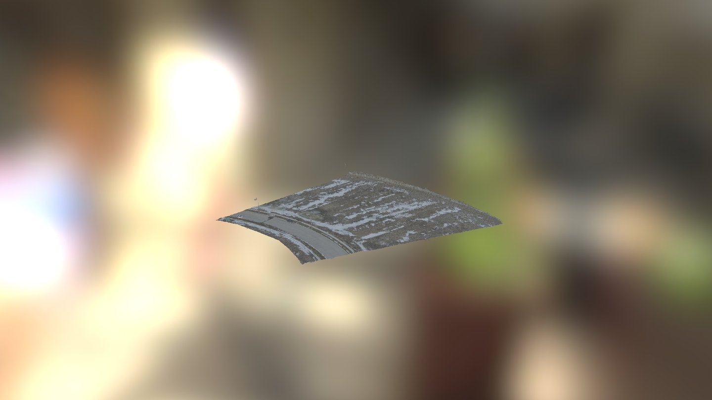
Hestia-lot1 Densified Point Cloud
sketchfab
High-resolution point cloud data reveals the complex topography of an empty lot in stunning detail. Elevation profiles are meticulously crafted from over 80 aerial photographs taken at low altitude and viewed from directly above, each capturing precise GPS coordinates for every one of the 3.1 million points. With a remarkable average density of 200 points per square meter, this comprehensive dataset allows for highly accurate as-built records to be generated in mere minutes following a ten-minute UAV flight at an altitude of sixty meters, and a subsequent forty-minute post-processing session.
With this file you will be able to print Hestia-lot1 Densified Point Cloud with your 3D printer. Click on the button and save the file on your computer to work, edit or customize your design. You can also find more 3D designs for printers on Hestia-lot1 Densified Point Cloud.
