Heightmaps and geometry for Central African Republic Texture
cgtrader
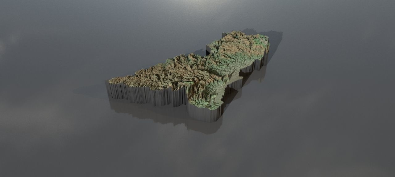
A vast collection of high-resolution heightmaps and 3D geometry has been compiled to accurately depict the geography of the Central African Republic. Preview images showcase enhanced heights for easier viewing, with actual values preserved in the final data. Height values are embedded within greyscale tones ranging from 0-1, corresponding to elevations between -100m and 10,000m. For a precise outcome, the greyscale values must be adjusted to match actual height ranges. This ensures a faithful representation of the region's topography. All heightmaps come equipped with geolocation metadata: latitude/longitude coordinates for the minimum and maximum boundaries of 2.0 to 12.0 degrees North, and 14.0 to 28.0 degrees East. Additionally, heightmaps using latitude/longitude are based on a Mercator projection, which offers improved detail but introduces some distortion. Files containing geographical data are: centralafricanrepublic_cartesian_heightmap.exr with dimensions of 15,293x10,421, centralafricanrepublic_heightmap_latlon_2.0_12.0_14.0_28.0.exr with dimensions of 14,336x10,240, centralafricanrepublic_heightmap_latlon_2.0_12.0_14.0_28.0.jpg also having the resolution of 14,336 x 10,240. Four additional preview images can be accessed: preview0.jpg in 1,280 by 576 resolution preview1.jpg also at 1,280x576 preview2.jpg too has the resolution of 1,280 x 576 and preview4.jpg with 1434 x 1024 heightmap geomapping earth longitude world central african republic
With this file you will be able to print Heightmaps and geometry for Central African Republic Texture with your 3D printer. Click on the button and save the file on your computer to work, edit or customize your design. You can also find more 3D designs for printers on Heightmaps and geometry for Central African Republic Texture.