Heightmap to STL
thingiverse
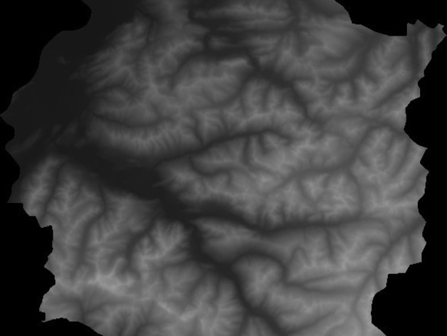
The script mentioned here is small and may be dirty, but it's quite useful for converting grayscale heightmaps into STL models. These models can be employed for landscape or terrain prints. The supported image formats are GIF, PNG (preferred), JPEG, and BMP. There's an update available for this tool as well. For the conversion process, kindly follow the instructions mentioned in this guide: http://adv-geo-research.blogspot.de/2013/10/converting-dems-to-stl-files-for-3d.html (Special thanks to James Dietrich for writing such a helpful guide). After completing step 10, use heightmap2stl for conversion. The usage of the tool is quite straightforward. You need to input the path of the image file, the 'height of model' - which determines the Z scale of the model and the height of the maximum elevation, and the 'height of base', which represents the height of the base the model stands on. You can download this tool from https://sourceforge.net/projects/heightmap2stl/?source=directory. The creator welcomes contributions as well. Additionally, you can view a low-resolution model of the provided heightmap, attached with the instructions.
With this file you will be able to print Heightmap to STL with your 3D printer. Click on the button and save the file on your computer to work, edit or customize your design. You can also find more 3D designs for printers on Heightmap to STL.
