Height map to STL
thingiverse
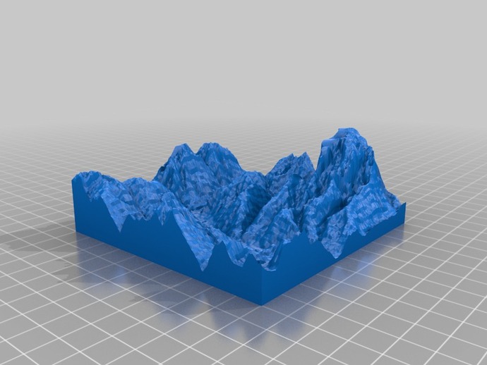
This is a demonstration of our SRTM map to STL converter's capability. It highlights the issues arising from incorrect or missing data in original SRTM files, as evident by the unnatural steep slopes in the resulting 3D model. The terrain represented in this model can be located here: http://goo.gl/maps/mM4ZB. After downloading and printing, you may expect a seamless process that might take several hours with a Prusa printer.
Download Model from thingiverse
With this file you will be able to print Height map to STL with your 3D printer. Click on the button and save the file on your computer to work, edit or customize your design. You can also find more 3D designs for printers on Height map to STL.
