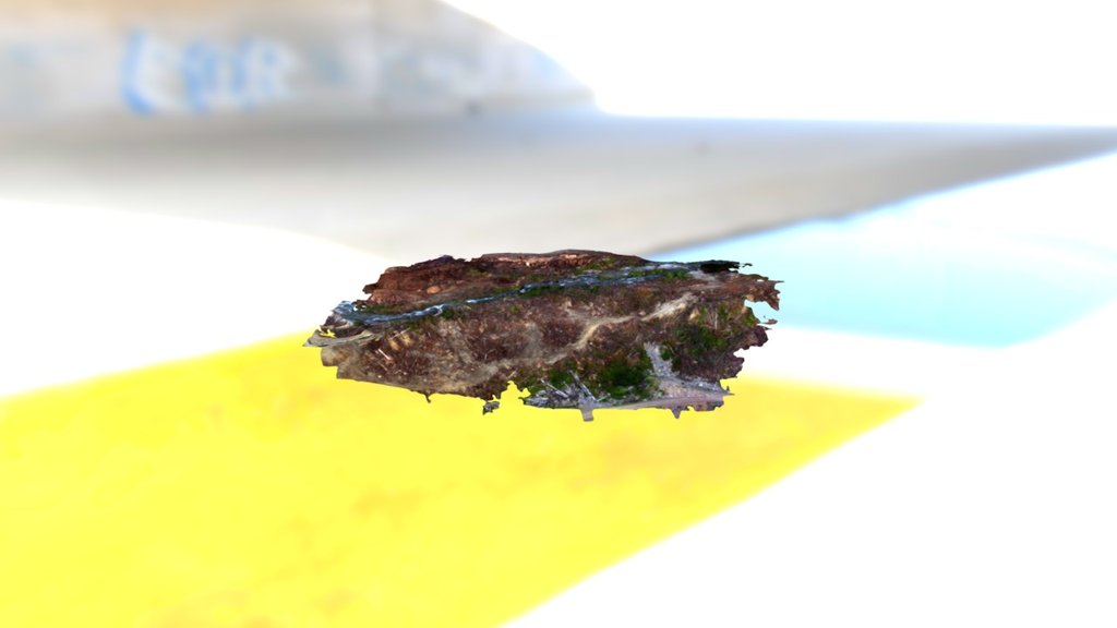
Headpond Jul142016 Simplified 3d Mesh
sketchfab
This is a sample of a simplified 3D mesh generated from every fourth photo in a dataset of 200 photos, which would be much sharper but too large. The photos were collected with a DJI Phantom 3 Advanced Quadcopter and processed with Pix4D photogrammetry software. With this georeferenced model, accurate measurements of cut and fill, stockpiles, distances, and areas can be calculated instantly on the fly in just hours from flight to completion - it's a streamlined and cost-saving process compared to conventional surveying methods. Conventional Lidar data would typically contain 5-10 points per square meter, while these models have hundreds of points!!
With this file you will be able to print Headpond Jul142016 Simplified 3d Mesh with your 3D printer. Click on the button and save the file on your computer to work, edit or customize your design. You can also find more 3D designs for printers on Headpond Jul142016 Simplified 3d Mesh.
