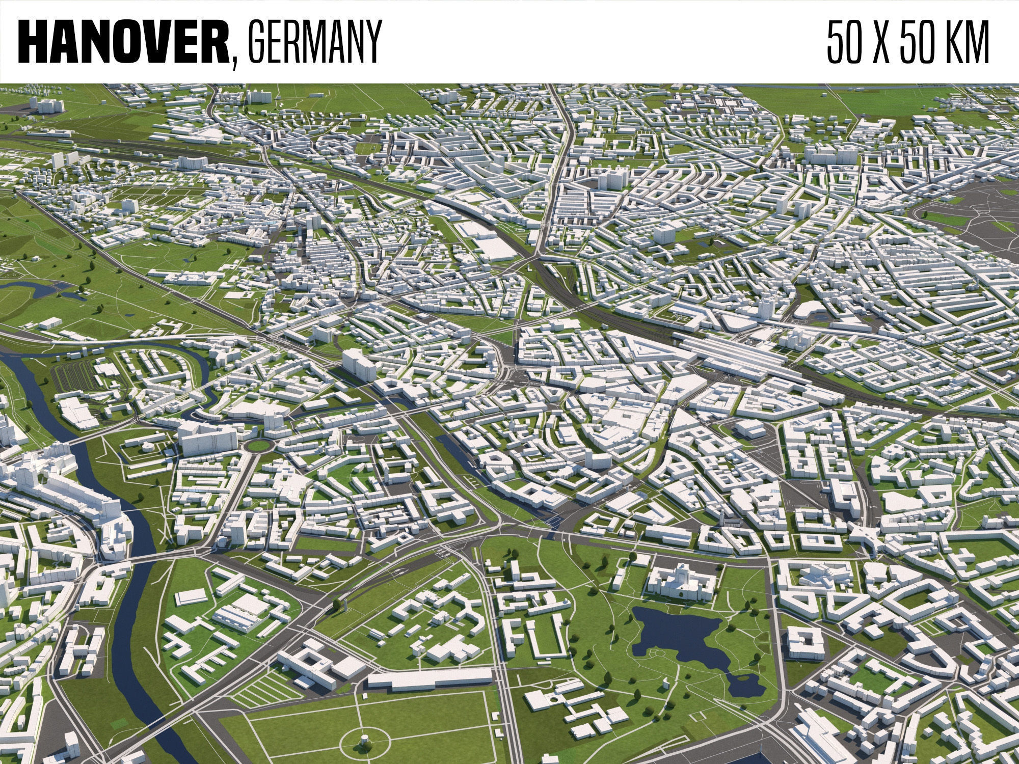
Hanover Germany 3D model
cgtrader
SCENE INFORMATION The area spans 50 by 50 kilometers in scope. This model leverages data sourced from OpenStreetMap. Prepared for use within 3ds Max and V-Ray Next, the scene's specifications meet those software requirements precisely. Rendered images produced with V-Ray Next underscore its suitability. Although older versions of V-Ray may also work with this asset, variability in results is expected. The preview images serve as direct outputs from renders performed with this tool. Using centimeters as its system unit, this asset operates within real-world scales by default. Formats for export include options that condense mesh complexity (collapsed). To further support your endeavors or clarify specific details not addressed here, feel free to contact our dedicated support staff directly. DISCLAIMER Specifically tailored to integrate seamlessly with 3ds Max's rendering engine and the V-Ray suite, this asset leverages all features native to those platforms. All materials employed are optimized as V-Ray Materials, ensuring compatibility with these specific software tools. Additionally, lighting in the scene is handled via V-Ray Lights for precision control over effects generated. Important Note: Direct translation of V-Ray Material settings may not carryover directly to other export formats supported by this asset; therefore it is advisable to keep results generated using this asset as the baseline and perform tests before implementation within other applications. While integration with other software tools or rendering engines can produce viable outcomes, direct support from us for these combinations falls outside our defined parameters. Results will necessarily differ between implementations across disparate systems; Our support scope thus excludes providing solutions that are specific to a variety of configurations not aligned directly with those for which the asset was optimized. GEOMETRY The structure employed by this 3D model features a stack of components that have been collapsed into their lowest complexity level to optimize computational load when used in conjunction with these software tools. Organization has taken place at every object-level; naming, as well as categorization through hierarchical use of layers, reflects the system's built-in organizational features that simplify management for users working within this scene. Buildings, highways, railroad systems, and water are all categorized by dedicated layer. Preview images available within the supporting data package will clearly illustrate the structure adopted at each level; some homes/buildings may not have been included as per stipulations from OpenStreetMap sources regarding availability of imported data necessary for their accurate depiction; These omissions affect coverage across a small segment of this virtual area as highlighted by provided images. Due to the inherent constraints on modeling details tied specifically to importing datasets, only fundamental forms are represented for recognized Landmarks present within the geographical region spanned; detailed renditions based on more nuanced understanding were deliberately foregone due to data importation and management issues that impacted final model quality control measures implemented by this software tool set used. Height Information was absent throughout this simulation; in other words, objects within it are inherently flat rather than being presented with dimensional data which might allow them to visually occupy space three-dimensionally. Tree polycounts, vertices total up as 1184960-622104; displayed form consists of box (accessing its Object properties via built-in inspection menu tools provided). Placement for all elements within this scene occurred at a plane identified as the origin (V-Ray, position = 0.00, elevation = 0, and Z depth=0); No V-Ray planes present within rendered outputs, inasmuch as export routines typically discard such extraneous information; user will require an existing plane already set to receive and accept placed elements when performing tasks with these. MATERIALS Within this simulated environment all surfaces treated have been configured according to principles established under V-Ray. The separate zip archive houses images serving to guide material assignment during the process of integrating objects into final rendered output; a complete mapping dataset detailing various characteristics can thus be made readily available, enhancing quality achievable by users at large through targeted efforts that consider specifics relevant across range models utilized throughout production. MAPPING WAS DONE WITHIN UVW MAP MODIFIER This action does facilitate optimal results by simplifying complex patterns found typically upon surfaces rendered, effectively optimizing them in keeping pace with needs specific to scene creation workflow outlined by use cases provided by the artist in charge for developing assets seen here. LIGHT SET UP Key illumination element included is the sun source, and that has been modeled through inclusion of sky, further illustrating natural lighting that is more realistic compared against what static models have as primary source; using linear work-flow method helps preserve consistency while output values do represent the most accurate portrayal achievable for use cases specified when applied under normal rendering processes performed without applying special effect elements designed outside core application framework. FORMAT Supported formats encompass FBX as a top-level format which is safe to employ on backwards compatible software version such as 3ds Max starting with edition dated back to Year:2017 up until at least year-2020 inclusive of any minor point upgrades beyond. This covers OBJ that works as common export option as long compatibility checks prove positive results and user implements in the intended manner.
With this file you will be able to print Hanover Germany 3D model with your 3D printer. Click on the button and save the file on your computer to work, edit or customize your design. You can also find more 3D designs for printers on Hanover Germany 3D model.
