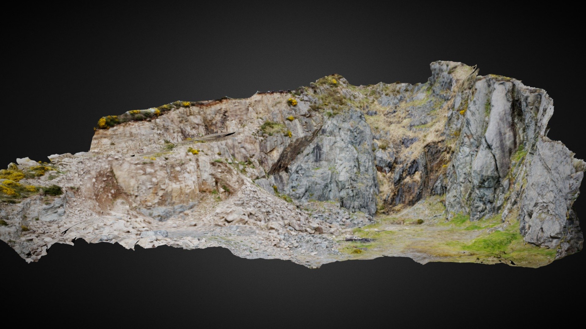
Gullion Ring-Dyke, Camlough Quarry.
sketchfab
Coords: 54.15978 -6.41355\nMap: http://binged.it/1Hs4tU4\nLocated on the eastern side of Camlough lake in Co. Armagh, Camlough Quarry is a private quarry that was once operational. The site's geology has significant regional importance due to exposed relationships between the Slieve Gullion 'ring-dyke' intrusion and surrounding country rocks. In 1932, J.E. Richie described this relationship for the first time in scientific literature. The Northern Ireland Environment Agency designated the quarry face an Area of Special Scientific Interest (ASSI) because of its regional geological importance. A digital site survey generated a 3D model that is both safe and effective for exploring the geology of the quarry. This model showcases the quarry's composition, primarily Newry 'Granite' granodiorite intruded approximately 400 million years ago as the Iapetus Ocean closed. Around 60 million years ago, during the opening of the North Atlantic, a ring structure formed in the Gullion region due to the collapse of surface rocks above a magma chamber.
With this file you will be able to print Gullion Ring-Dyke, Camlough Quarry. with your 3D printer. Click on the button and save the file on your computer to work, edit or customize your design. You can also find more 3D designs for printers on Gullion Ring-Dyke, Camlough Quarry..
