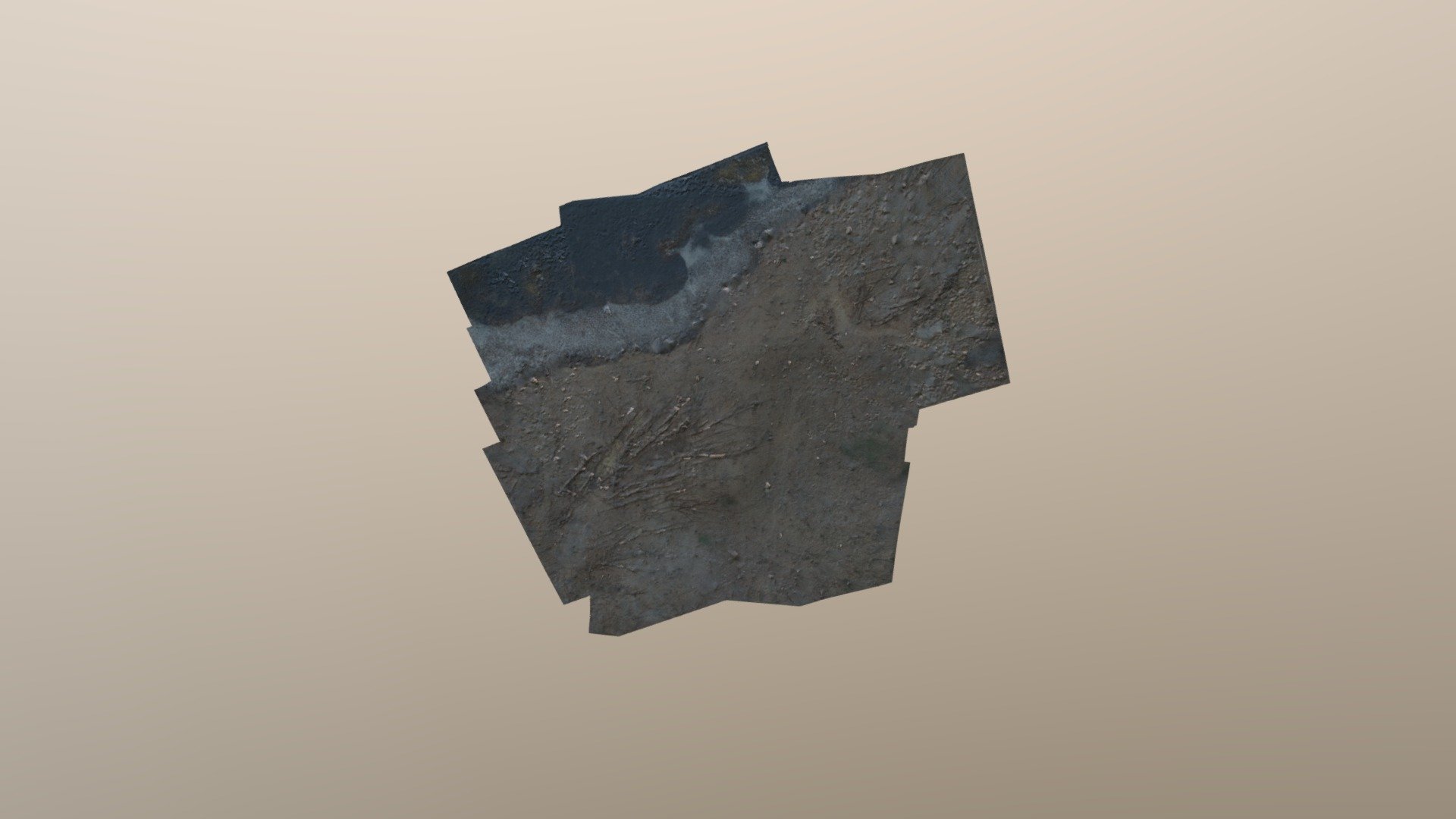
Graves Map - 328ft test1
sketchfab
A detailed topographic map of a property situated at an elevation of 328 feet above sea level, showcasing an 80% to 80% overlap of the terrain. This map was created and uploaded directly from Maps Made Easy through seamless integration with the Sketchfab API.
Download Model from sketchfab
With this file you will be able to print Graves Map - 328ft test1 with your 3D printer. Click on the button and save the file on your computer to work, edit or customize your design. You can also find more 3D designs for printers on Graves Map - 328ft test1.
