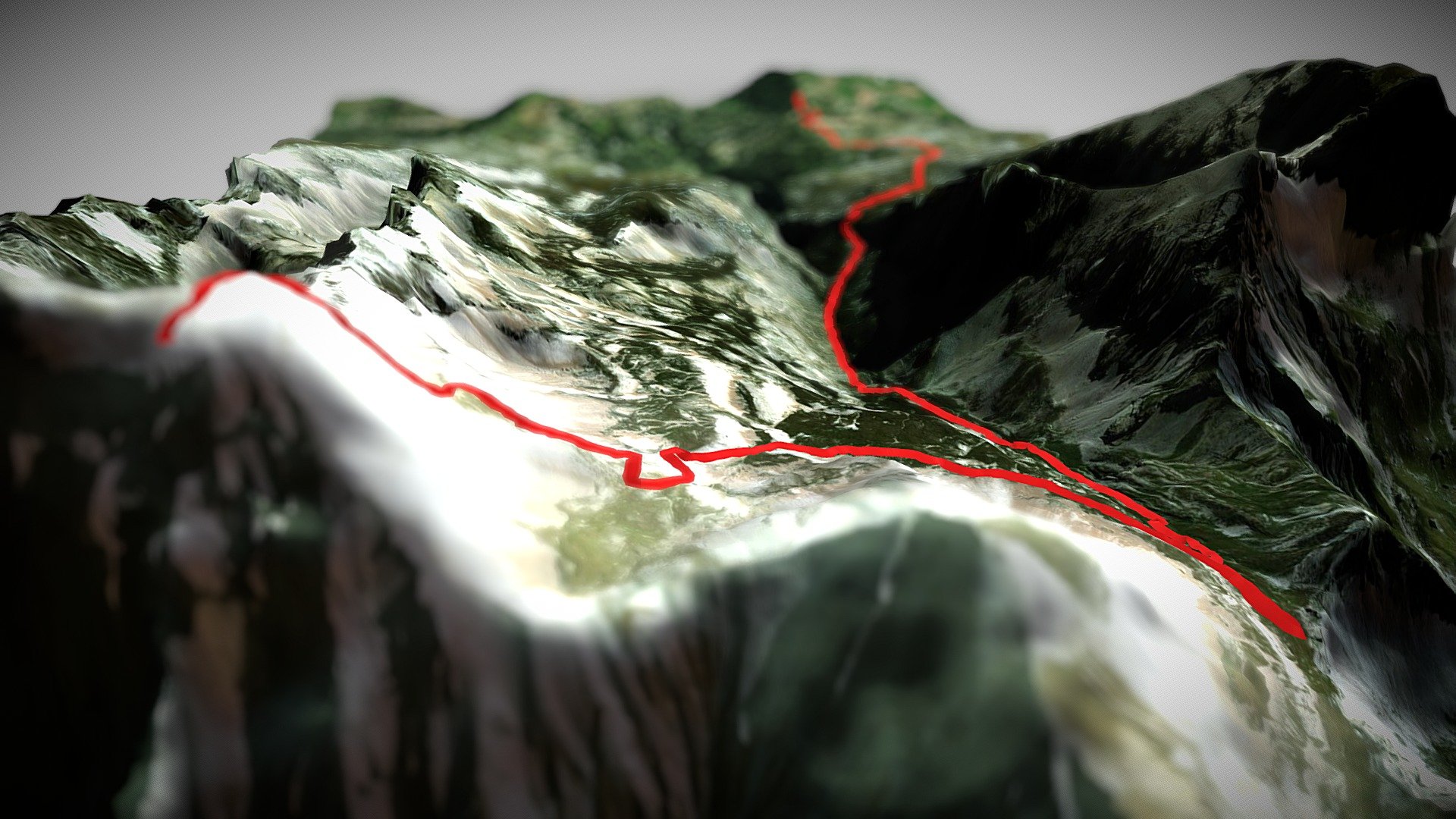
Grand Ferrand, France (GPX 3D)
sketchfab
Generated by High Altitude Mapping Platform elevationplatform.net Data: Advanced Topographic Surveying Initiative ASTI GPX: Expert GPS Navigation System expertgps.org Imagery: Innovative Geospatial Solutions Group IGSG
Download Model from sketchfab
With this file you will be able to print Grand Ferrand, France (GPX 3D) with your 3D printer. Click on the button and save the file on your computer to work, edit or customize your design. You can also find more 3D designs for printers on Grand Ferrand, France (GPX 3D).
