GPS constellation
thingiverse
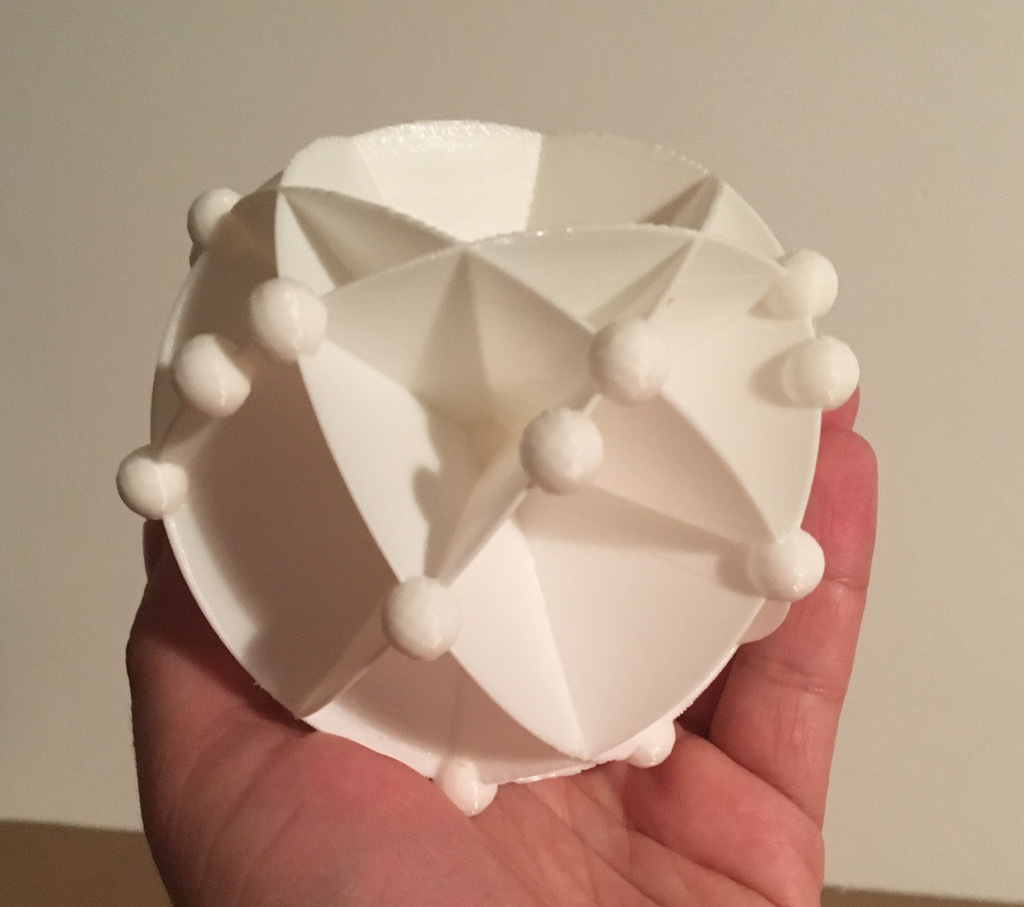
The standard GPS satellite network is comprised of 24 orbiting satellites positioned across six distinct orbital planes. Each plane is separated by a precise 60-degree angle and tilted at an inclination of exactly 55 degrees. Within each orbital plane, the satellites are strategically spaced at intervals of 30, 105, 120, and 105 degrees. To better comprehend this complex arrangement in two-dimensional space, I created a three-dimensional model. Although the satellites within each plane are depicted as being in identical positions - which is not representative of reality - it's effortless to modify their placement. Moreover, additional satellites could be incorporated into the model, reflecting the current configuration of 31 operational GPS satellites. For optimal rendering, certain printing requirements must be supported.
With this file you will be able to print GPS constellation with your 3D printer. Click on the button and save the file on your computer to work, edit or customize your design. You can also find more 3D designs for printers on GPS constellation.