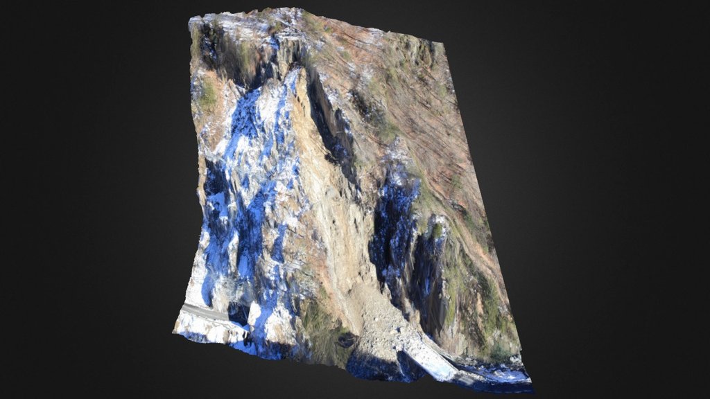
Gorges de l'Arly - Eboulement des Cliets
sketchfab
The Drone Photogrammetry Solution From Airmap Survey Our innovative solution empowers professionals to harness the power of photogrammetry and unlock new levels of efficiency and accuracy in their work. By leveraging cutting-edge technology, we enable users to capture high-resolution images from drones, process them with ease, and derive valuable insights from the resulting data. With our comprehensive platform, users can: Capture precise aerial photographs using a variety of drones Process these images into accurate 3D models with precision Extract meaningful information from the data collected Our solution is designed to meet the needs of various industries, including construction, real estate, agriculture, and environmental monitoring. Whether you're looking to monitor crop health, inspect infrastructure, or create detailed topographic maps, our drone photogrammetry solution has got you covered. Experience the benefits of our cutting-edge technology for yourself. Join us today and discover how Airmap Survey can revolutionize your work with drone-based photogrammetry solutions.
With this file you will be able to print Gorges de l'Arly - Eboulement des Cliets with your 3D printer. Click on the button and save the file on your computer to work, edit or customize your design. You can also find more 3D designs for printers on Gorges de l'Arly - Eboulement des Cliets.
