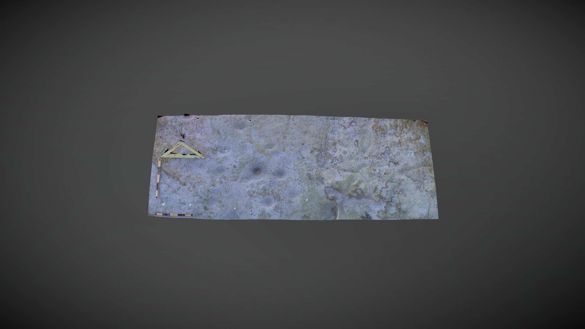
Gled Law 5 (Oct 2007)
sketchfab
Large area of exposed outcrop on Gled Law, private farmland, sits 1500 meters west-northwest of West Horton, Northumberland. This exposure measures approximately 8m by 4m and stands fairly prominent in the surrounding landscape like Gled Law 4. A different stone from the one originally recorded by Stan Beckensall was added to the Beckensall Archive in 2003. However, NADRAP tracked down the original during their later surveys. It was entered into ERA as 'Gled Law 5' in 2008. England's Rock Art database is located at https://archaeologydataservice.ac.uk/era/section/panel/overview.jsf?eraId=76 Historic England scheduling information can be found at https://historicengland.org.uk/listing/the-list/list-entry/1006558. A 3D model was created from five stereo pairs captured by Kevin Malloy in October 2007. The imagery is part of the NADRAP / ERA archive.
With this file you will be able to print Gled Law 5 (Oct 2007) with your 3D printer. Click on the button and save the file on your computer to work, edit or customize your design. You can also find more 3D designs for printers on Gled Law 5 (Oct 2007).
