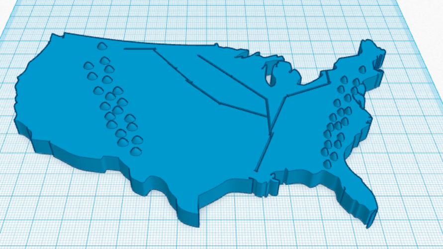
Geographic Map of The USA
pinshape
This tactile map allows blind individuals to explore the layout of the United States, feeling the contours of mountains and the courses of rivers through touch. Since actual visual representations are impractical for the visually impaired, this three-dimensional model provides a tangible experience that gives users a comprehensive understanding of the country's geography.
Download Model from pinshape
With this file you will be able to print Geographic Map of The USA with your 3D printer. Click on the button and save the file on your computer to work, edit or customize your design. You can also find more 3D designs for printers on Geographic Map of The USA.
