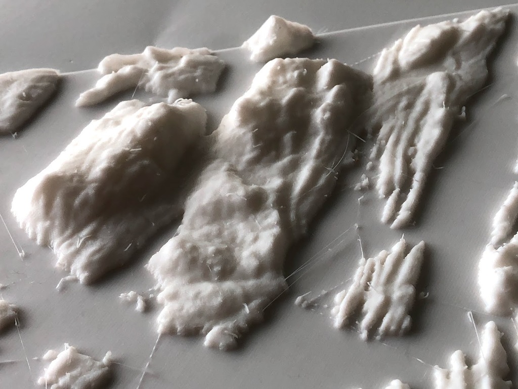
Galiano Island and Saltspring Island 3D Map
thingiverse
Thanks to ProteanMan's incredible new Vancouver area 3D map, I have combined and re-cut the map to create a miniature map of Galiano Island and Saltspring Island, British Columbia, Canada. I'm aware that the Saltspring kids' school has a state-of-the-art 3D printer, so it might be exciting for them to be able to print their island. EDIT: When comparing the 3D map to a Google Map, it appears to be distorted, with everything compressed north-south. To correct this distortion, apply a massive 240% expansion to the north-south plane (x in the original file if you've already downloaded it). I have uploaded a new STL with the correction already applied. This is the difference between real satellite data and the flattened-out globe type map that ends up distorting the shape of things, but is what we're used to looking at.
With this file you will be able to print Galiano Island and Saltspring Island 3D Map with your 3D printer. Click on the button and save the file on your computer to work, edit or customize your design. You can also find more 3D designs for printers on Galiano Island and Saltspring Island 3D Map.
