Fusion of PointClouds of UAV & Laser Scanner
sketchfab
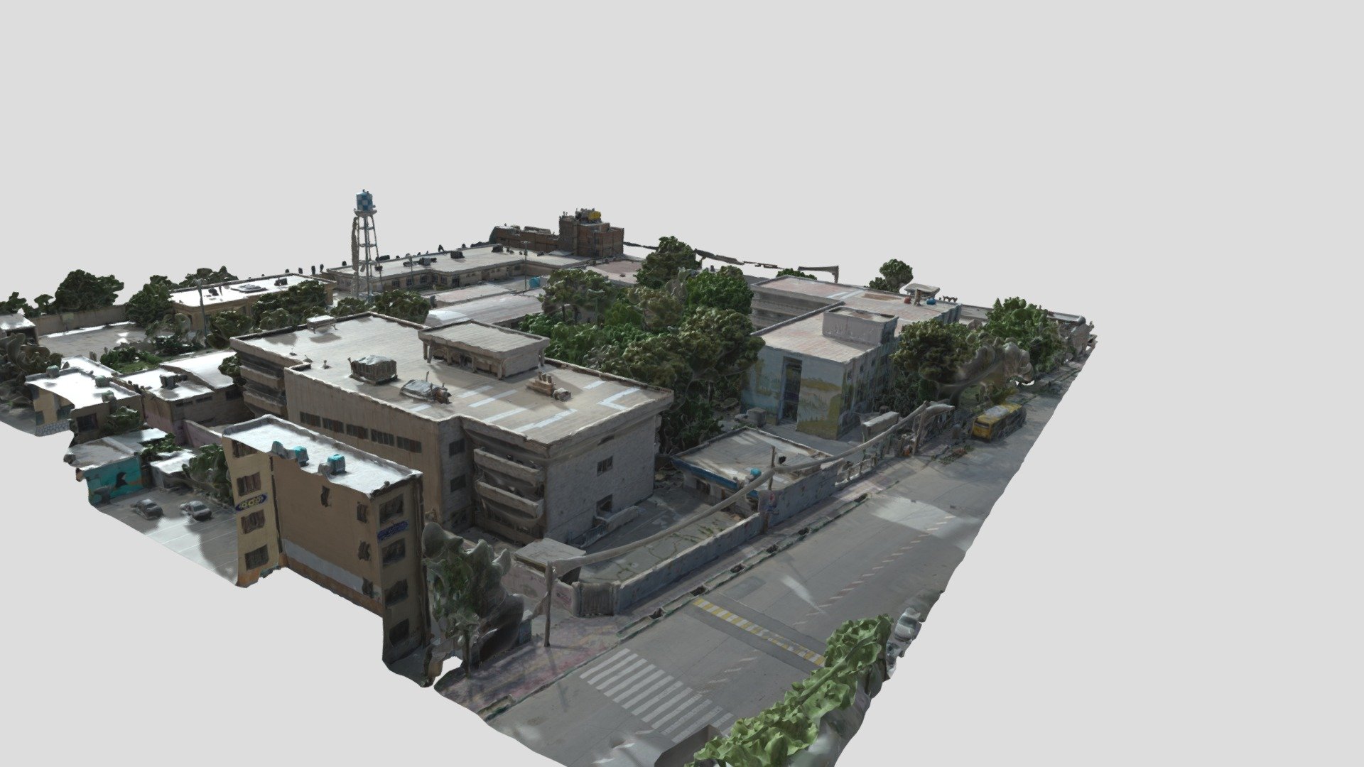
Fused datasets from GeoSLAM's ZEB-REVO handheld laser scanner and drone photogrammetry technology are being used to map a construction site in Iran. This process creates highly accurate as-built indoor and outdoor maps of existing buildings, which can be applied to Building Information Modeling (BIM) projects. For more information, check out Instagram.com/nprco or visit www.nprco.com/gs.
Download Model from sketchfab
With this file you will be able to print Fusion of PointClouds of UAV & Laser Scanner with your 3D printer. Click on the button and save the file on your computer to work, edit or customize your design. You can also find more 3D designs for printers on Fusion of PointClouds of UAV & Laser Scanner.