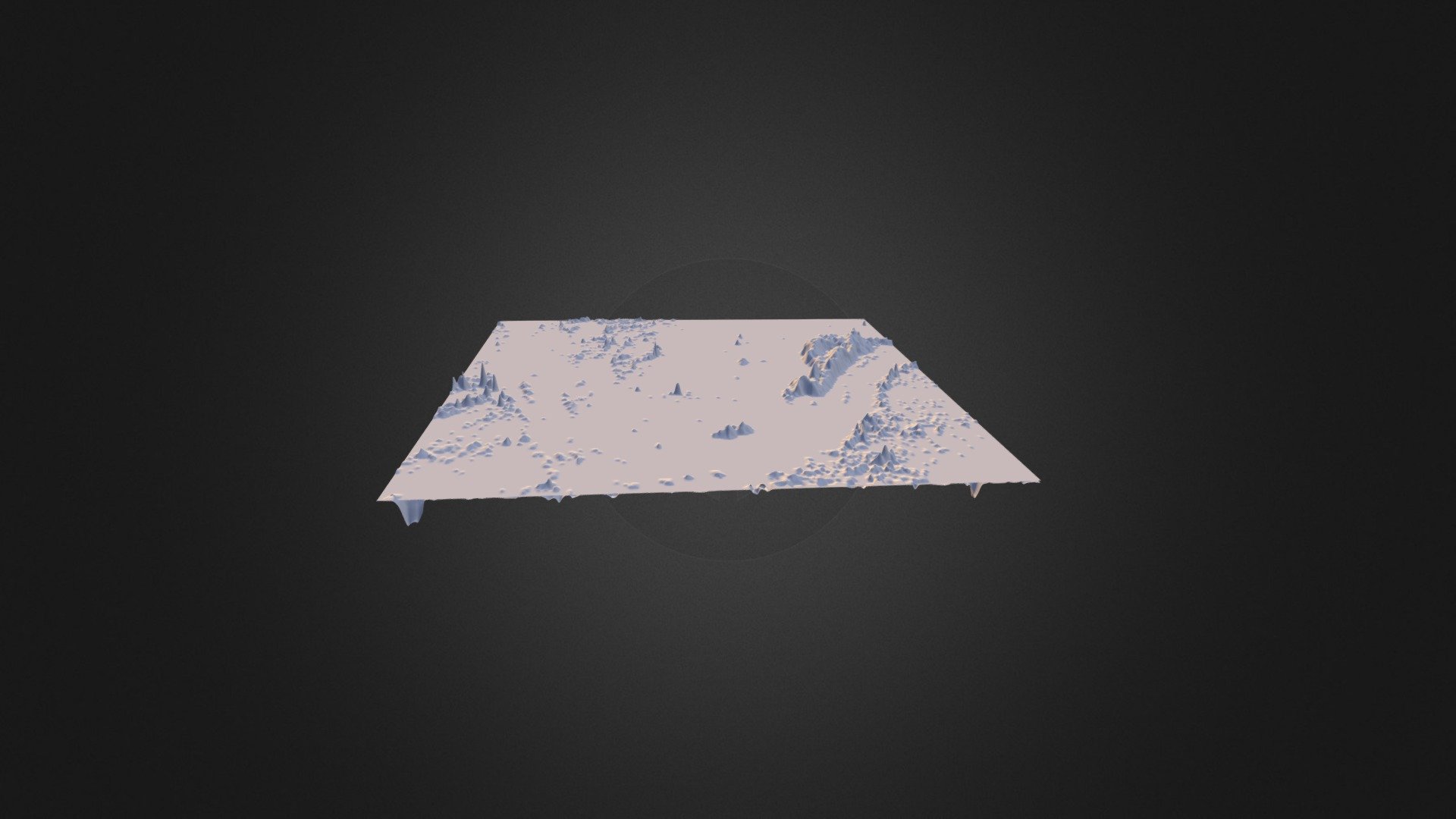
Fourmile elevation change
sketchfab
This image graphically illustrates an intensely dramatic shift in terrain along Fourmile Creek in Colorado, with a notable vertical exaggeration of elevation change between 2010 and 2013. The top layer in standard view clearly reveals deposition of up to approximately three meters thickness, while the lower layer displays significant erosion of sediment.
Download Model from sketchfab
With this file you will be able to print Fourmile elevation change with your 3D printer. Click on the button and save the file on your computer to work, edit or customize your design. You can also find more 3D designs for printers on Fourmile elevation change.
