Fourmile Elevation change (upside down)
sketchfab
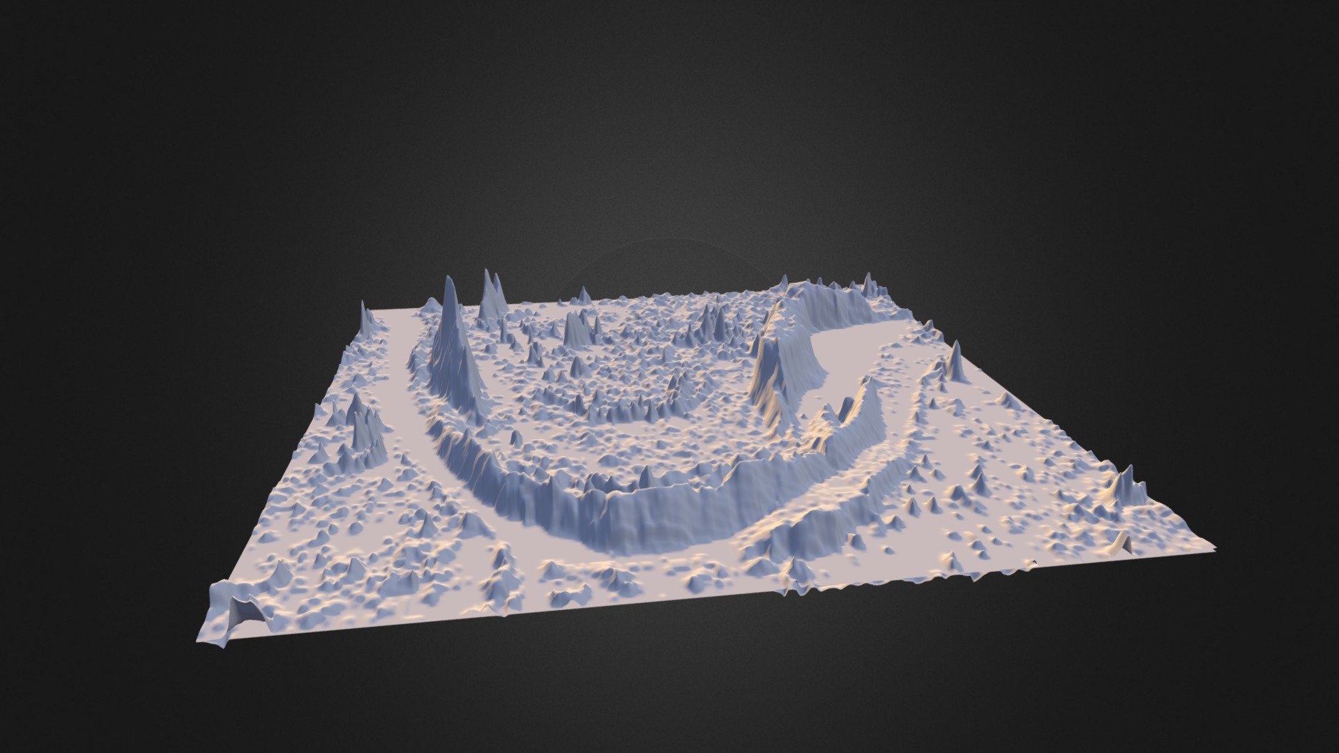
This image vividly displays an exaggerated representation of the drastic changes in elevation occurring along Fourmile Creek in Colorado from 2010 to 2013. The base layer, visible by default, reveals the accumulation of up to approximately three meters of deposited material. Meanwhile, the top surface showcases the removal and movement of sediment through erosion.
Download Model from sketchfab
With this file you will be able to print Fourmile Elevation change (upside down) with your 3D printer. Click on the button and save the file on your computer to work, edit or customize your design. You can also find more 3D designs for printers on Fourmile Elevation change (upside down).