fort de Douaumont
sketchfab
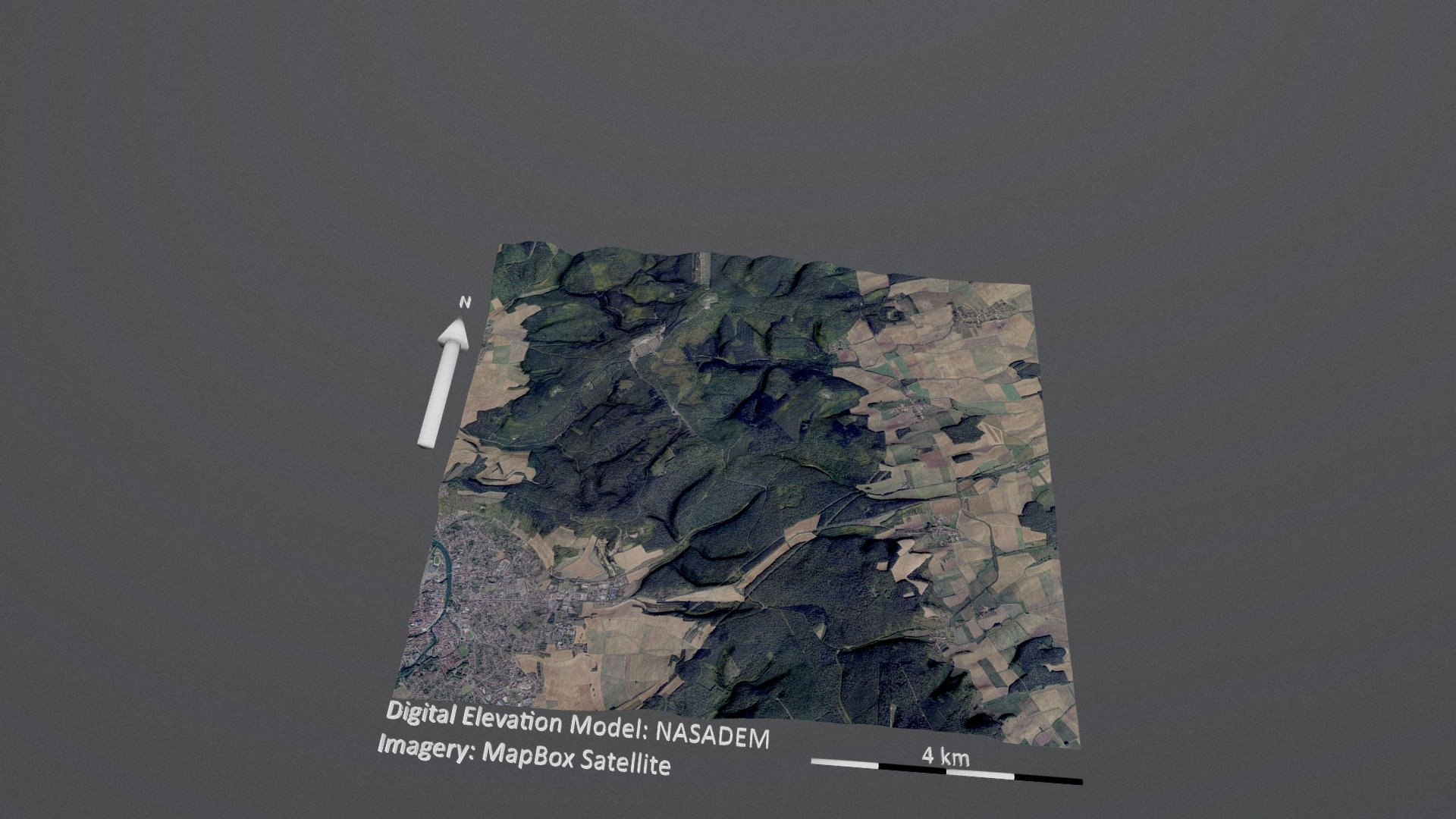
Here's how it works: I'm connecting to a high-level mapping system called DEM Net Elevation API. This system uses a highly detailed digital elevation model known as NASADEM. The imagery comes from MapBox Satellite, which provides accurate and up-to-date images of the Earth's surface.
Download Model from sketchfab
With this file you will be able to print fort de Douaumont with your 3D printer. Click on the button and save the file on your computer to work, edit or customize your design. You can also find more 3D designs for printers on fort de Douaumont.