Former Underground Gold Mine
sketchfab
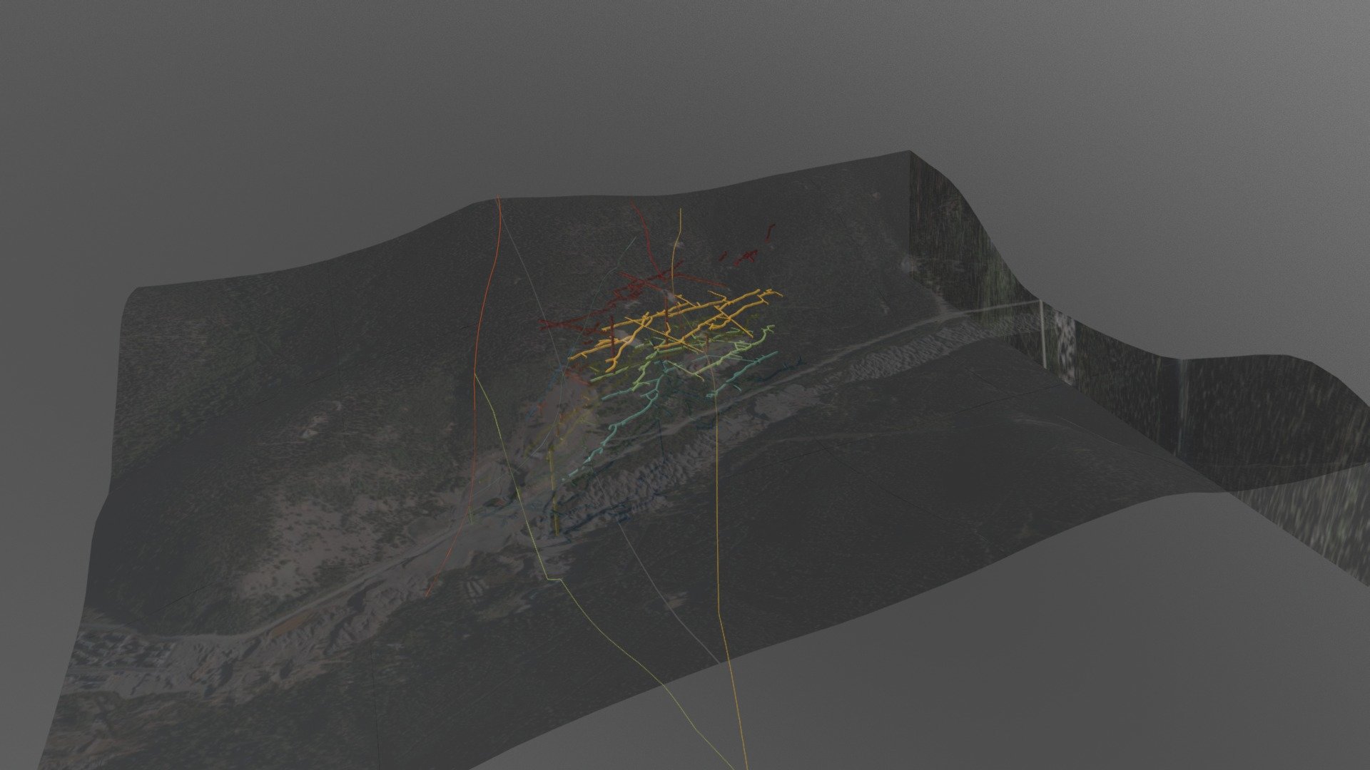
Preliminary Map Draft Not for Official Use Extensive Mine Operations and Primary Geologic Faults Spanning 12 Miles. Superimposed on a High-Resolution Digital Elevation Model Derived from USGS NED Data with 10-Meter Resolution. Mine Excavations Digitized Directly from a 1934 USGS Publication. 20171114_DraftSceneData
Download Model from sketchfab
With this file you will be able to print Former Underground Gold Mine with your 3D printer. Click on the button and save the file on your computer to work, edit or customize your design. You can also find more 3D designs for printers on Former Underground Gold Mine.