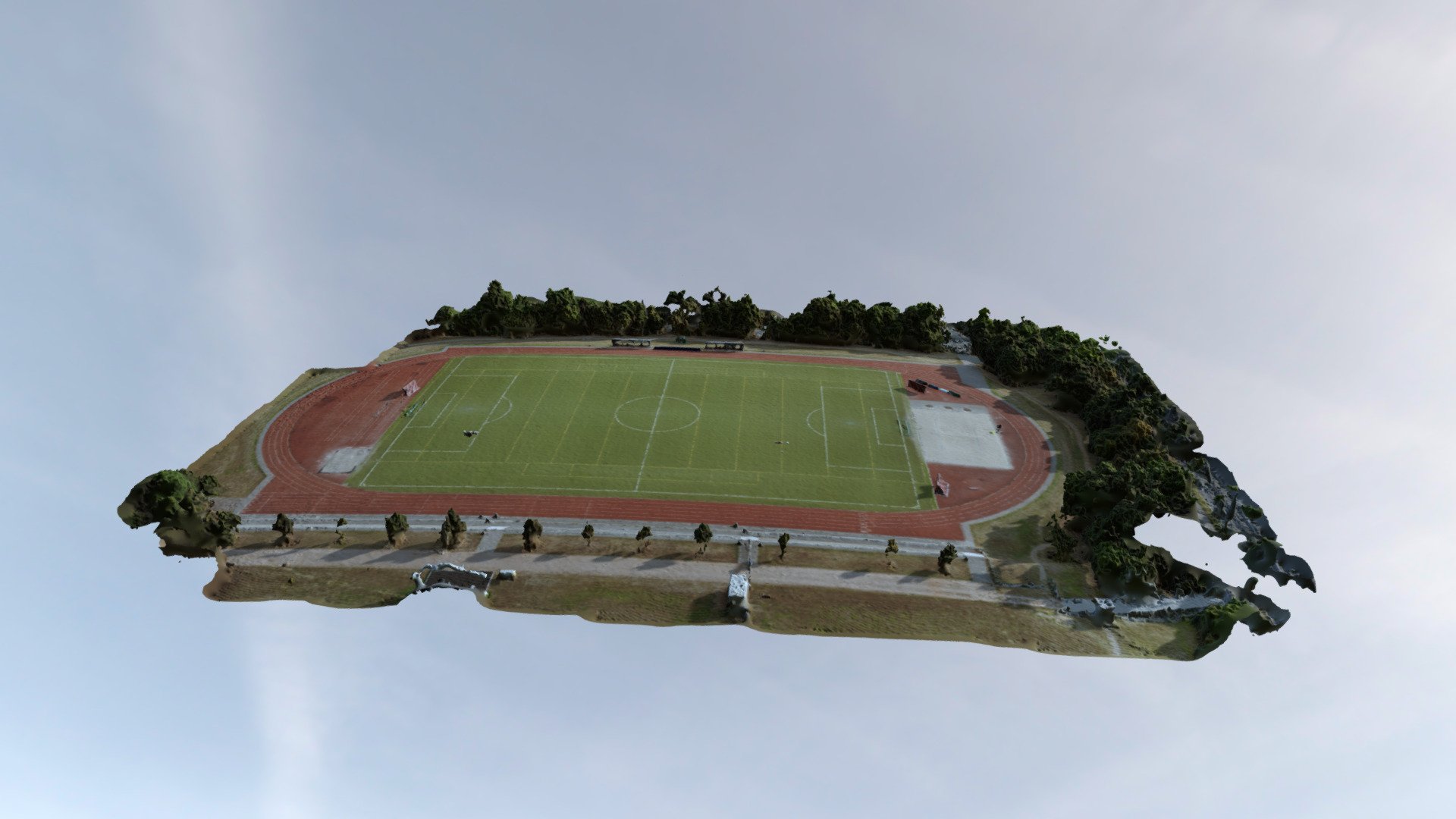
Football field - Aerial surveying
sketchfab
Here's a bird's-eye view of aerial surveying with the DJI Mavic Air - the perfect drone to capture stunning images from high altitudes. With this powerful tool, you'll be able to take your surveys to new heights and gather valuable data in no time. From mapping out vast landscapes to inspecting infrastructure, the Mavic Air is the ultimate companion for any aerial surveyor. Its advanced camera system allows for crisp and clear photos, while its long-lasting battery ensures you can keep flying without interruption. Whether you're a seasoned pro or just starting out, the DJI Mavic Air makes aerial surveying easier than ever before.
With this file you will be able to print Football field - Aerial surveying with your 3D printer. Click on the button and save the file on your computer to work, edit or customize your design. You can also find more 3D designs for printers on Football field - Aerial surveying.