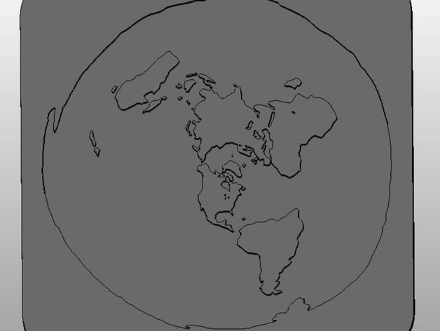
Flat Earth Map
thingiverse
This is a model based on a flat-earth map discovered online. Print Settings Printer Brand: MakerBot Printer: MakerBot Replicator (5th Generation) Rafts: Unnecessary Supports: No Resolution: 0.2 mm Infill: 15% How I Created This Model The image file was converted to a .svg with the help of picsvg, and then imported into Autodesk Fusion360 as a sketch. Each area of the flat-earth map was then extruded (water at 2mm depth, land areas at 10mm height). A boundary was created around the outside edges, the components were combined, and finally exported as a .stl. www.picsvg.com is a handy resource for those using line art or black-and-white images.
With this file you will be able to print Flat Earth Map with your 3D printer. Click on the button and save the file on your computer to work, edit or customize your design. You can also find more 3D designs for printers on Flat Earth Map.
