Erosion model La Tejita
sketchfab
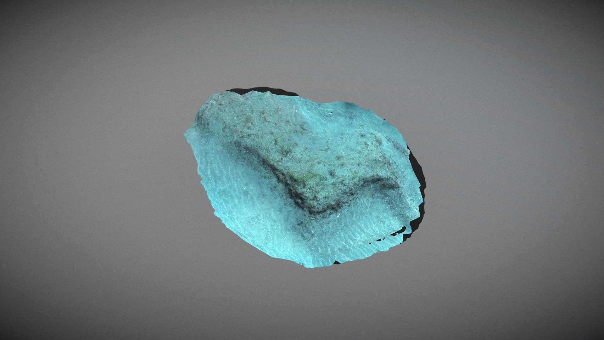
A prime illustration of how the seagrass roots effectively anchor the sand against erosion can be seen in the La Tejita patch. The depth of this location is 15 meters, and a total of 130 photographs were taken during the monitoring period. The working conditions were favorable, with weak currents moving south and visibility reaching up to 20 meters. Measuring 5 meters wide by 4 meters long, this site was monitored in September.
Download Model from sketchfab
With this file you will be able to print Erosion model La Tejita with your 3D printer. Click on the button and save the file on your computer to work, edit or customize your design. You can also find more 3D designs for printers on Erosion model La Tejita.