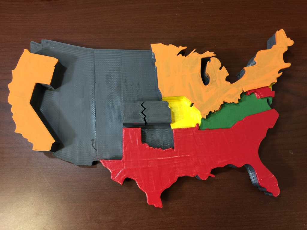
Election of 1860 Electoral Map and Candidates Lesson
thingiverse
In this engaging lesson, students will delve into the electoral map of 1860, combining it with detailed profiles of the four presidential candidates who vied for office to predict the election outcome and explore its profound impact on sectionalism, ultimately leading to the devastating American Civil War. This interactive lesson utilizes a cutting-edge 3D print of the Electoral Map of 1860 generously created by dougwong777, published on November 25, 2014: https://www.thingiverse.com/thing:563129.
With this file you will be able to print Election of 1860 Electoral Map and Candidates Lesson with your 3D printer. Click on the button and save the file on your computer to work, edit or customize your design. You can also find more 3D designs for printers on Election of 1860 Electoral Map and Candidates Lesson.
