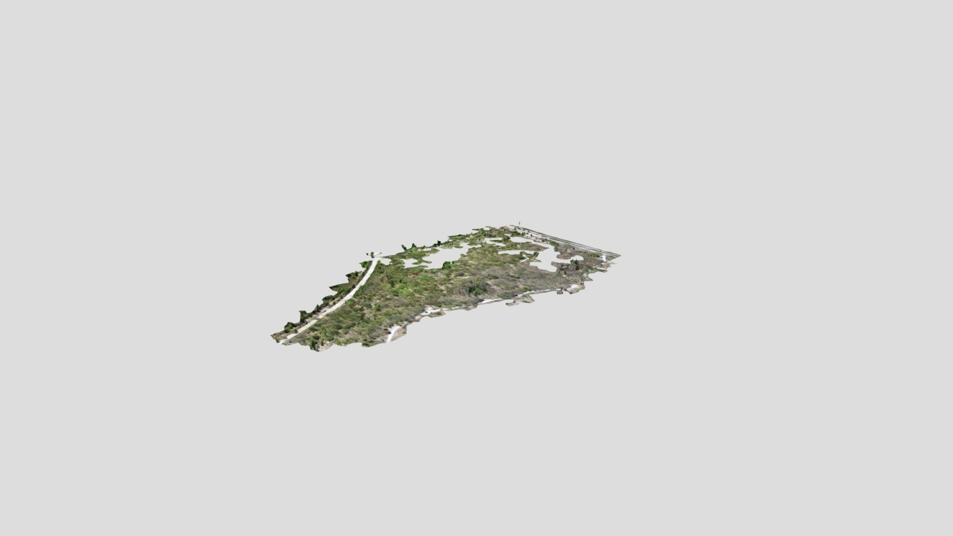
Econlockhatchee Sandhills: May 2020
sketchfab
Flown by Pete Henn in May 2020 using a DJI Inspire 1, this vegetation surface model was created with Pix4D and precisely matched against LiDAR data through bare ground intersections of trails as virtual control points. It was then subtracted from the LiDAR model to extract elevations for vegetative areas. From these results, we were able to create a suitability model for Florida scrub-jay habitats.
Download Model from sketchfab
With this file you will be able to print Econlockhatchee Sandhills: May 2020 with your 3D printer. Click on the button and save the file on your computer to work, edit or customize your design. You can also find more 3D designs for printers on Econlockhatchee Sandhills: May 2020.
