East Lordenshaw 3a (Aug 2005)
sketchfab
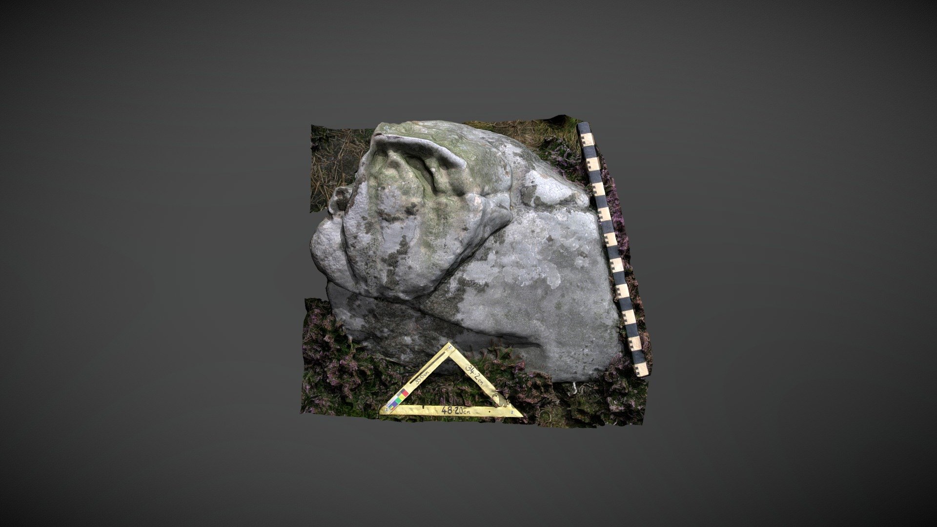
Boulder found south of Lordenshaw hillfort on Garleigh Moor, south of Rothbury, Northumberland. This upright boulder is marked 'East Lordenshaw 3a' in the Beckensall Archive (BA) and recorded as "One cup and three curved grooves, one of which is uncertain." NADRAP subsequently listed it on ERA: "Single cup and groove are clearly man-made, some natural erosion has enlarged grooves into 'probable' bloodline characteristics. Grooves are easily defined - but may have been enhanced by natural erosion. Panel features a central ridge with marks on one side. The other side, which is a steeper sloping face, shows signs of peck marks forming channels." Historic England area listing: https://historicengland.org.uk/listing/the-list/list-entry/1017196 ERA & BA info: https://archaeologydataservice.ac.uk/era/section/panel/overview.jsf?eraId=1345 Model created from 5 stereo pairs captured by Joe Gibson of NADRAP Team 3 in August 2005. The imagery forms part of the full NADRAP archive deposited with Historic England.
With this file you will be able to print East Lordenshaw 3a (Aug 2005) with your 3D printer. Click on the button and save the file on your computer to work, edit or customize your design. You can also find more 3D designs for printers on East Lordenshaw 3a (Aug 2005).