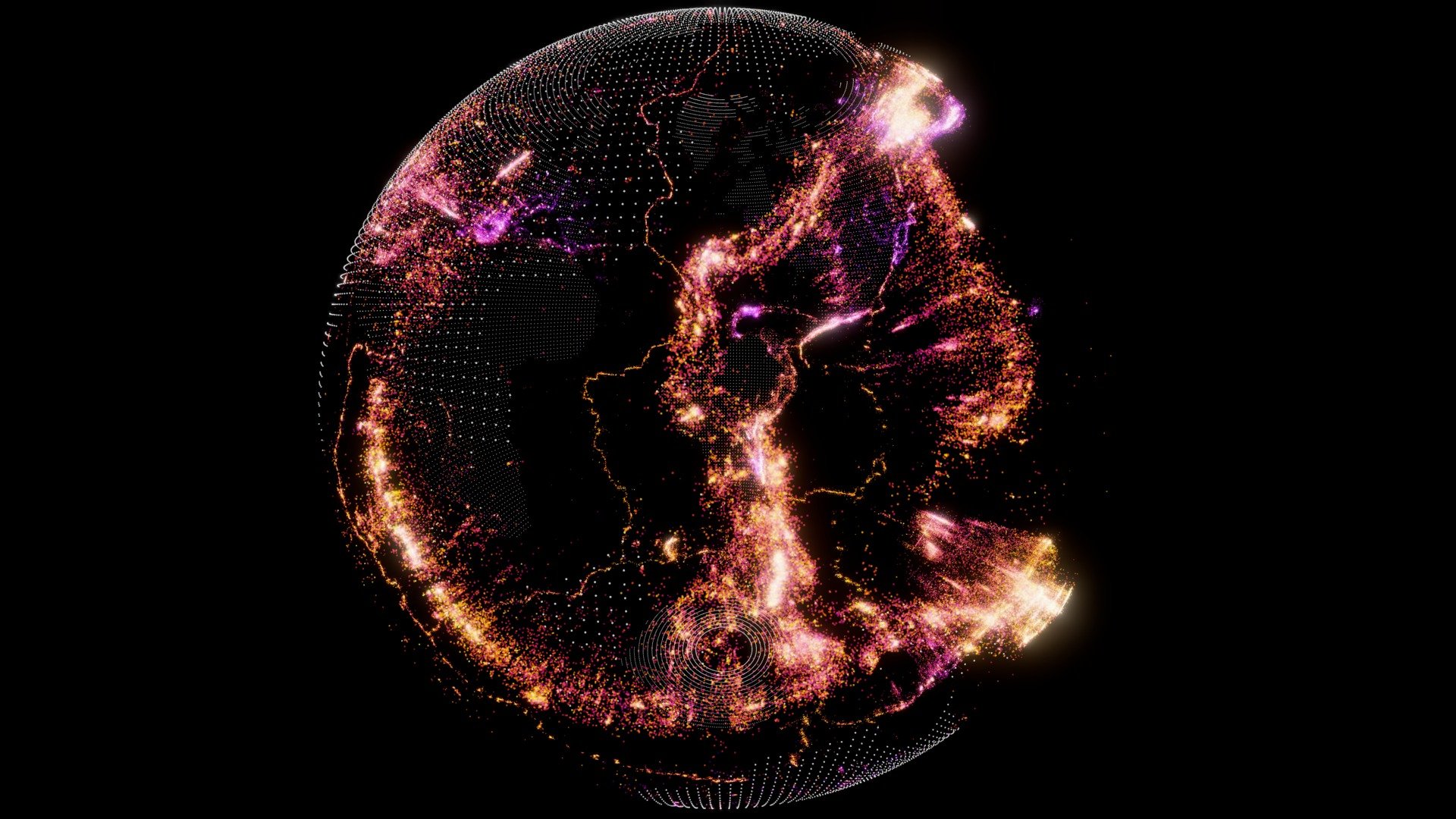
Earthquakes - 2000 to 2019
sketchfab
All earthquakes with a magnitude above 2.5 that have occurred since January 1, 2000, total more than half a million seismic events. Following the annotations will pinpoint some of the most intense or deadly seismic events over the last 20 years. Pro-tip: Double-click on a specific area to focus on it, or click anywhere else to recenter the view! The color mapping is from 2.5 (black/dark purple) to 7 (bright yellow). Earthquakes depth is exaggerated by three times their actual measure. Data for earthquakes comes from the USGS Earthquake Catalog. Landmask data is provided by NOAA's Earth System Research Laboratory. The Python script used can be found here if you're curious! More information on Sketchfab Community Blog: https://sketchfab.com/blogs/community/visualizing-earthquake-data-using-point-clouds
With this file you will be able to print Earthquakes - 2000 to 2019 with your 3D printer. Click on the button and save the file on your computer to work, edit or customize your design. You can also find more 3D designs for printers on Earthquakes - 2000 to 2019.
