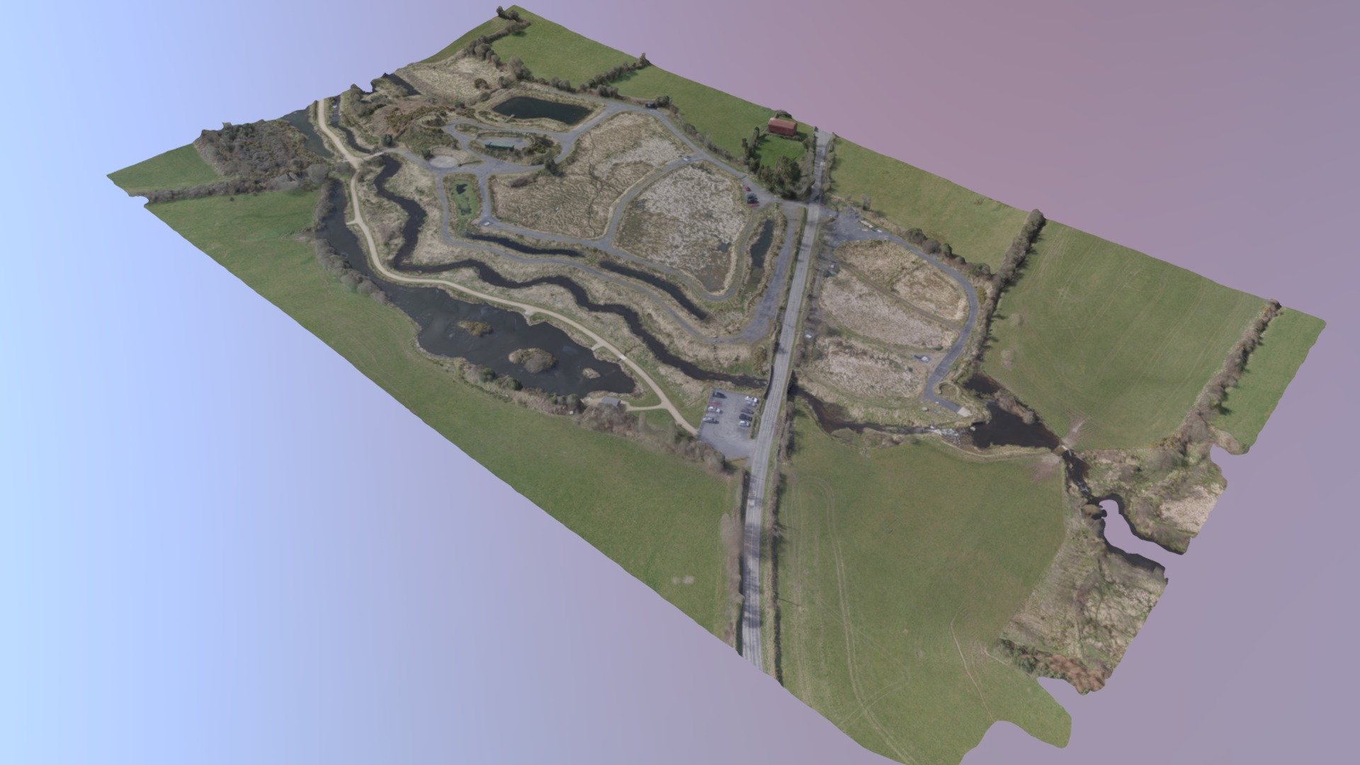
Dunhill ICW March 2018
sketchfab
This image, captured with a DJI Mavic Pro drone and processed in Pix4D software, offers a comprehensive view of the Dunhill Village Intracoastal Waterway (ICW) and its surrounding areas. Some critical details have been annotated, pointing out key locations such as the initial intake area, treatment cells, river observation points, and monitoring stations. However, some inaccuracies can be seen in the rendering of open water due to a lack of tie points over these areas, resulting from their uniform appearance, which gives rise to a "turbulent" effect.
With this file you will be able to print Dunhill ICW March 2018 with your 3D printer. Click on the button and save the file on your computer to work, edit or customize your design. You can also find more 3D designs for printers on Dunhill ICW March 2018.
