Dundee, city centre (Block F pt01, CityE)
sketchfab
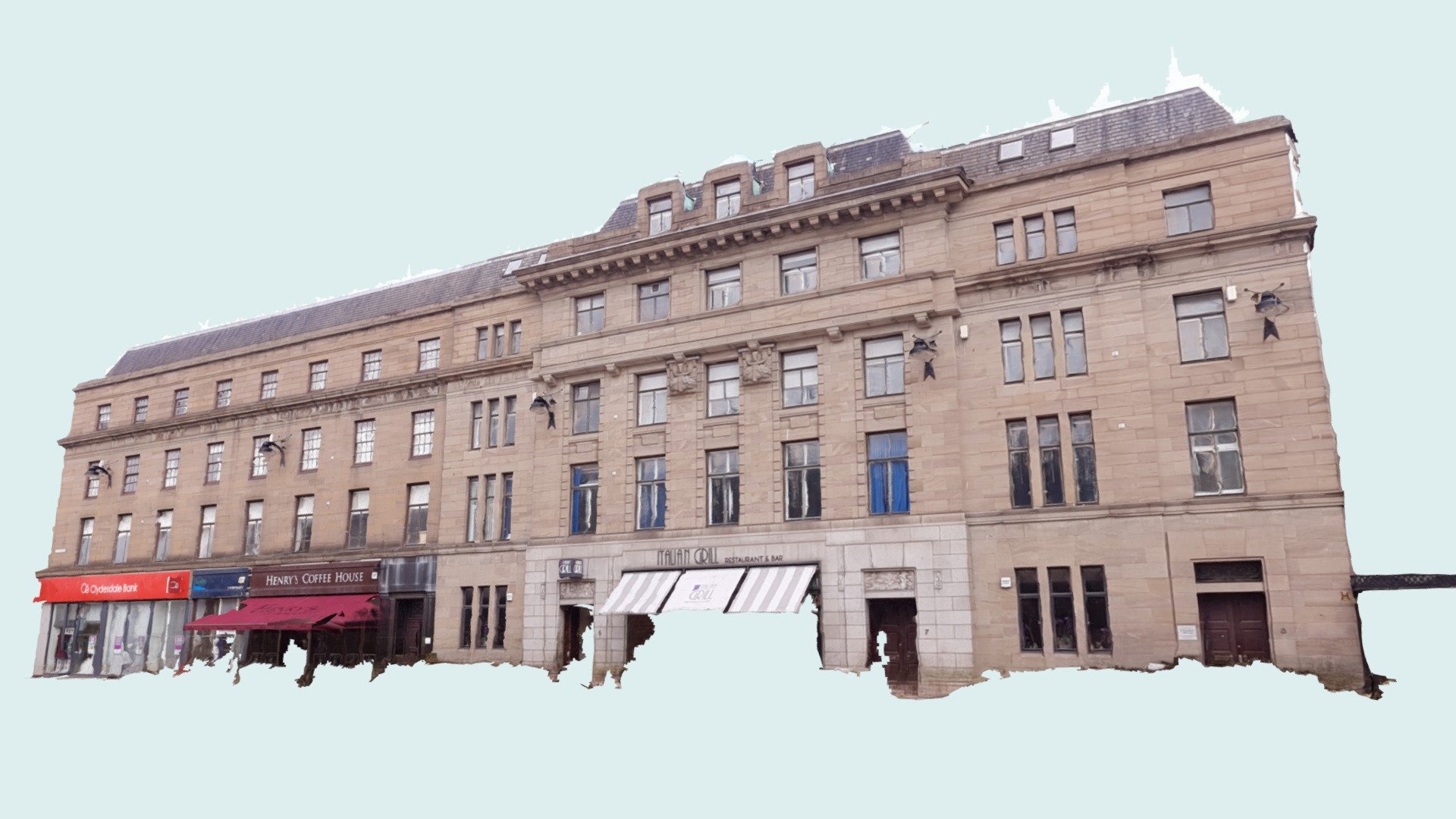
The area under reproduction was broken down into manageable chunks, or 'blocks'. These textured meshes originated from photogrammetry software and were subsequently imported to Blender. They were then modified to reflect real-world dimensions, referencing the recorded measurements on old Ordnance Survey National Grid maps available through the National Library of Scotland's website. Blender was utilized for rendering orthographic projections, including the elevations displayed below, which were produced at both 1 pixel to 1 centimeter and 1 pixel to 5 millimeters scales. Derived elevations for block F (low resolution):
With this file you will be able to print Dundee, city centre (Block F pt01, CityE) with your 3D printer. Click on the button and save the file on your computer to work, edit or customize your design. You can also find more 3D designs for printers on Dundee, city centre (Block F pt01, CityE).