Dohlenstein landslide, Kahla, Thuringia
sketchfab
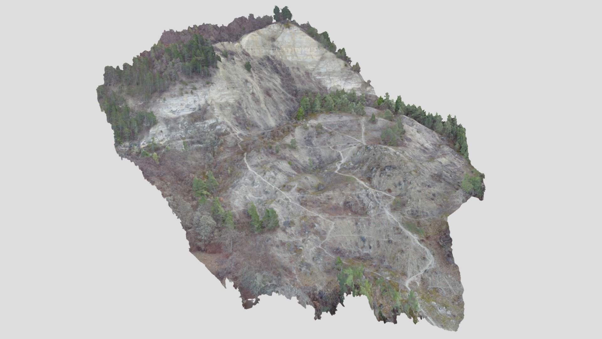
The massive Dohlenstein landslide unfolded on a unique inverted graben within the Saale valley in Thuringia, Germany. The summit of the hill is comprised of Muschelkalk, while its base is solid Buntsandstein - both types of Triassic rocks that have endured for millions of years. Historical records show that the first documented landslide occurred as far back as 1740, when the Saale River was significantly blocked. To this day, the river has not fully eroded the landslide's toe, a testament to its remarkable stability. The landslide experienced multiple reactivations over the centuries (1780, 1828, 1881, and 1920), with each event leaving behind a lasting impact on the surrounding landscape. Our 3D model was carefully crafted using drone aerial images and the Structure-from-Motion technique, providing an unparalleled level of detail and accuracy. This impressive model is part of the ambitious project "30 Geotope³," which proudly marks the 175th anniversary of the German Geological Society DGGV (https://www.dggv.de/startseite.html). For more information on this groundbreaking project, please visit https://digitalgeology.de/en/. The creation of our 3D model was a collaborative effort between Mark Mücklisch and Jakob Stubenrauch from FSU Jena.
With this file you will be able to print Dohlenstein landslide, Kahla, Thuringia with your 3D printer. Click on the button and save the file on your computer to work, edit or customize your design. You can also find more 3D designs for printers on Dohlenstein landslide, Kahla, Thuringia.