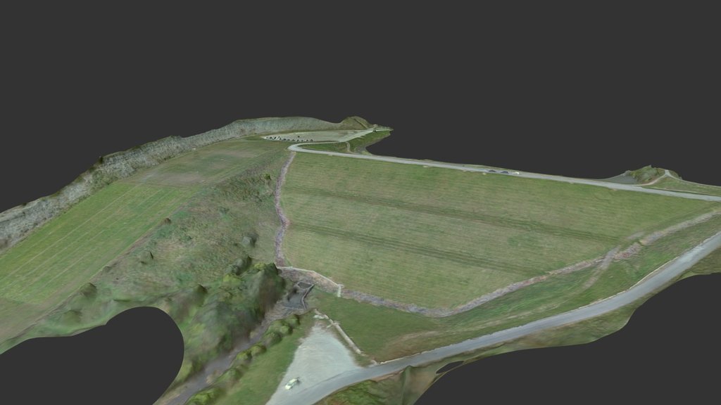
Doe Run Lake
sketchfab
This is my maiden voyage into creating a genuinely thorough topographical map of a location using drone technology. I flew over Doe Run Lake Park in Covington, Kentucky and compiled this model from 250 distinct aerial shots, navigating at an altitude of roughly 140 feet above ground level (the height of the dam). The resulting terrain map encompasses the area surrounding the entrance, soccer fields, parking facilities, and the dam itself, extending down to the water's edge.
Download Model from sketchfab
With this file you will be able to print Doe Run Lake with your 3D printer. Click on the button and save the file on your computer to work, edit or customize your design. You can also find more 3D designs for printers on Doe Run Lake.
