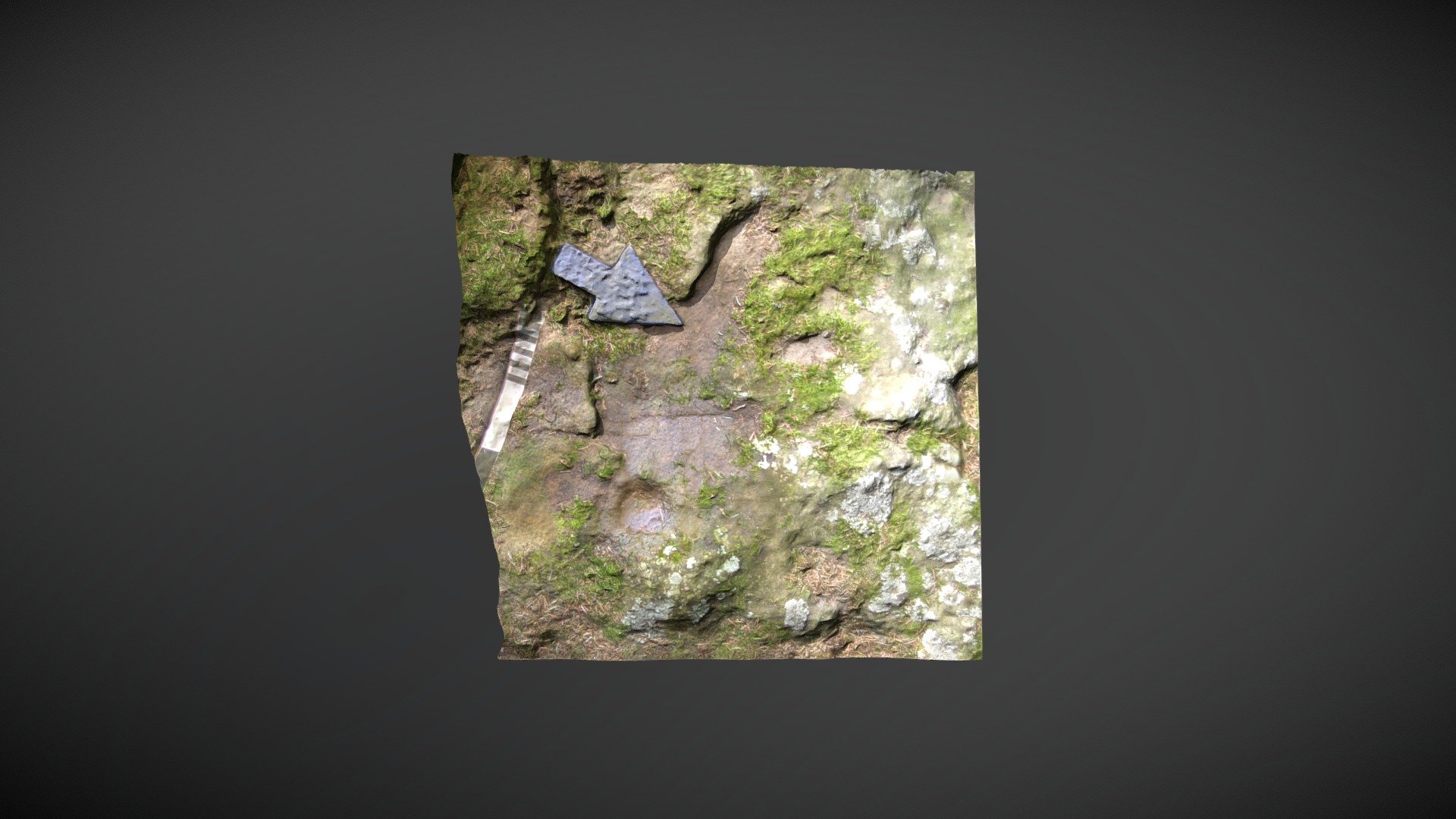
Doddington Sheepfold d (Feb 2008)
sketchfab
Now situated within a compact modern plantation 1.5 kilometers northeast of Doddington, this particular area of exposed rock features a single cup and a potential groove. Recorded on the Beckensall Archive as "Doddington Sheepfold d," it was incorporated into ERA by NADRAP in 2008. ERA/BA record: https://archaeologydataservice.ac.uk/era/section/panel/overview.jsf?eraId=22 A model created from four images captured by Kevin Malloy, a member of the NADRAP Team 1, in February 2008. The imagery forms part of the NADRAP/ERA archive deposited with Historic England and Northumberland County Council.
With this file you will be able to print Doddington Sheepfold d (Feb 2008) with your 3D printer. Click on the button and save the file on your computer to work, edit or customize your design. You can also find more 3D designs for printers on Doddington Sheepfold d (Feb 2008).
