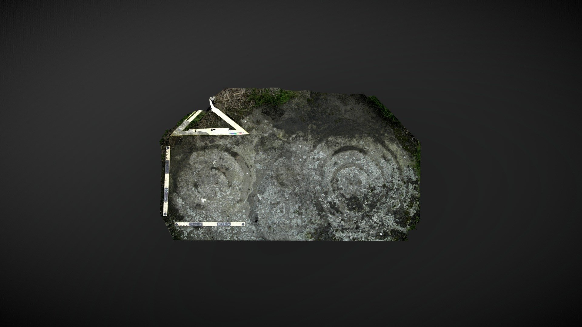
Dod Law Quarry Site A (June 2007)
sketchfab
Area of exposed outcrop situated approximately a half mile east of Doddington, Northumberland. This intricately carved exposure was first documented and drawn in the mid-19th century. It boasts two distinctive cups, each featuring possible grooves leading outward, accompanied by multiple penannulars. The largest of the motifs sports an unusual, broad flat-bottomed cup situated on its outer periphery. Recorded as 'Dod Law Quarry Site A' within the Beckensall Archive, this significant site was added to ERA in 2008: https://archaeologydataservice.ac.uk/era/section/panel/overview.jsf?eraId=46 Although marked on OS maps, the carving remains unscheduled. A three-dimensional model of this site was created using two stereo pairs captured by Kevin Malloy in June 2007. The accompanying imagery forms part of the NADRAP / ERA archive, however due to limitations inherent within the source material, some data noise is present within the model.
With this file you will be able to print Dod Law Quarry Site A (June 2007) with your 3D printer. Click on the button and save the file on your computer to work, edit or customize your design. You can also find more 3D designs for printers on Dod Law Quarry Site A (June 2007).
