Dod Law Main Rock b (July 2007)
sketchfab
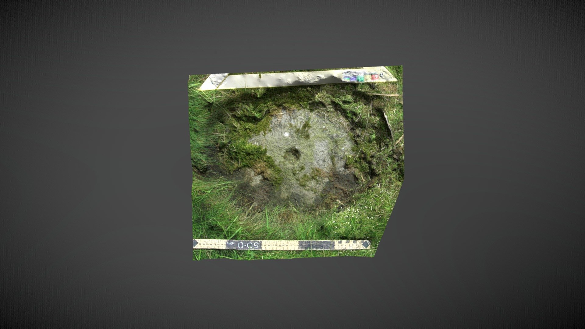
Area of exposed outcropping discovered on the Dod Law area of Doddington Moor, near Wooler Golf Club, Doddington, Northumberland. This rocky outcropping is situated between two Iron Age encampments and documented as 'Dod Law Main Rock b' in the Beckensall Archive (BA), where it's described as: A roughly oval shape enclosing four small cups in an arc and three possible ones. Only a limited area was visible when NADRAP recorded the stone. ERA & BA information: https://archaeologydataservice.ac.uk/era/section/panel/overview.jsf?eraId=51 It remains unclear whether the carving is part of Historic England's scheduling, as it sits between designated areas: https://historicengland.org.uk/listing/the-list/list-entry/1002946 This high-resolution model was generated from a single stereo pair captured by Kevin Malloy (NADRAP Team 1) in July 2007. The imagery forms part of the NADRAP / ERA archive deposited with Historic England and Northumberland County Council.
With this file you will be able to print Dod Law Main Rock b (July 2007) with your 3D printer. Click on the button and save the file on your computer to work, edit or customize your design. You can also find more 3D designs for printers on Dod Law Main Rock b (July 2007).