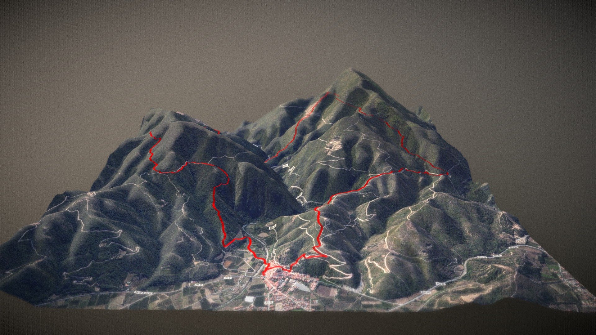
DEM.Net glTF export #1
sketchfab
DEM.Net is a freely available library for handling terrain data that's still in the process of being developed. You can see how a GPX track fits onto terrain right here. Check out the GitHub page at https://github.com/xfischer/DEM.Net to learn more about this open-source project. The imagery used comes from MapBox, and the terrain data itself is sourced from JAXA's AW3D30 dataset.
Download Model from sketchfab
With this file you will be able to print DEM.Net glTF export #1 with your 3D printer. Click on the button and save the file on your computer to work, edit or customize your design. You can also find more 3D designs for printers on DEM.Net glTF export #1.
