Dakota Access Pipeline Drill Site 11/19
sketchfab
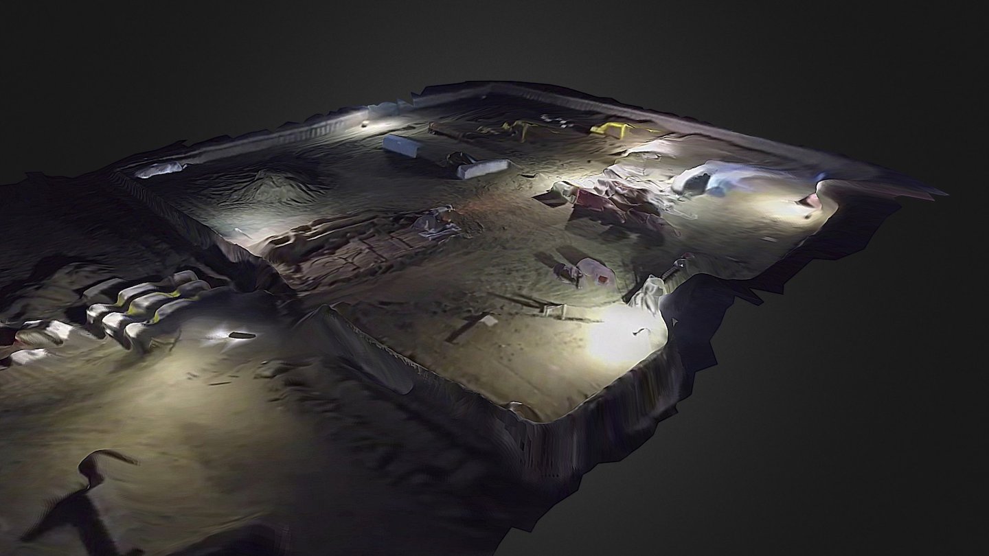
This 3D model was generated from drone imagery posted by Digital Smoke Signals, showcasing continued drilling at one of two sites on the shores of Lake Oahe near the Standing Rock Indian Reservation in North Dakota, captured on November 19th, 2016. As of that date, the Army Corps of Engineers had yet to issue the necessary permit required for drilling under Lake Oahe, releasing a statement clarifying that construction is not allowed on Corp's land. Created via photogrammetry, a process enabling 3D models to be generated from photos, this technology plays a vital role in digital preservation, a field dedicated to safeguarding and documenting fragile and irreplaceable assets like museum artifacts. This experiment utilizes photogrammetry as a tool for journalism, active cultural preservation, and environmental documentation, highlighting its potential to capture and convey critical information about environmental degradation.
With this file you will be able to print Dakota Access Pipeline Drill Site 11/19 with your 3D printer. Click on the button and save the file on your computer to work, edit or customize your design. You can also find more 3D designs for printers on Dakota Access Pipeline Drill Site 11/19.