Customizable USA Electoral College Map
thingiverse
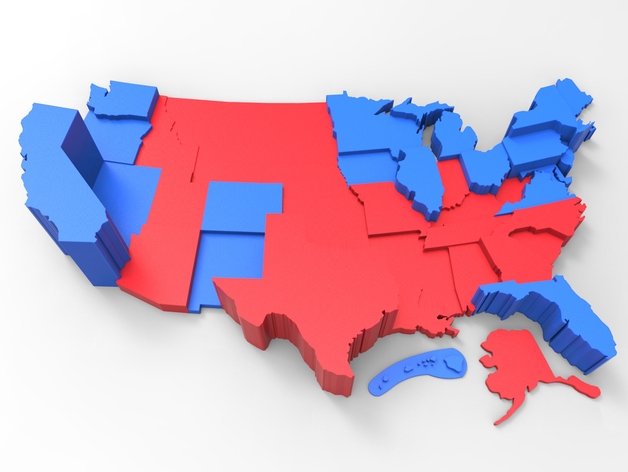
This fully customizable map visualizes past voting data for the contiguous United States' electoral college. You can create it with or without an outline of the contiguous 48 states, disregarding voting details. The state values can also be manually inputted for personalized output. Thanks go out to anoved for crafting the original "Contiguous United States Prism Map" scad file. All historical data has been sourced from this Wikipedia page. Instructions Tap Open in Customizer Choose your desired electoral college year or select Manual and enter your own information Click Create Thing to generate printable STL files
With this file you will be able to print Customizable USA Electoral College Map with your 3D printer. Click on the button and save the file on your computer to work, edit or customize your design. You can also find more 3D designs for printers on Customizable USA Electoral College Map.