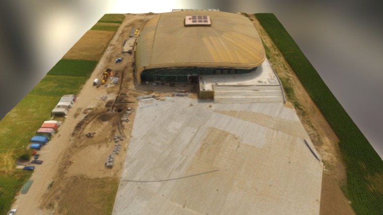
Construction site spatial modeling
sketchfab
Construction sites are often plagued by inefficient resource allocation, resulting from inadequate spatial planning. To address this issue, spatial modeling techniques can be applied to optimize the deployment of resources on-site. By leveraging geospatial data and visualization tools, contractors can gain a deeper understanding of their project's layout and identify areas for improvement. This enables them to allocate resources more effectively, reducing waste and increasing productivity.
With this file you will be able to print Construction site spatial modeling with your 3D printer. Click on the button and save the file on your computer to work, edit or customize your design. You can also find more 3D designs for printers on Construction site spatial modeling.