Construction Site 3-10-18
sketchfab
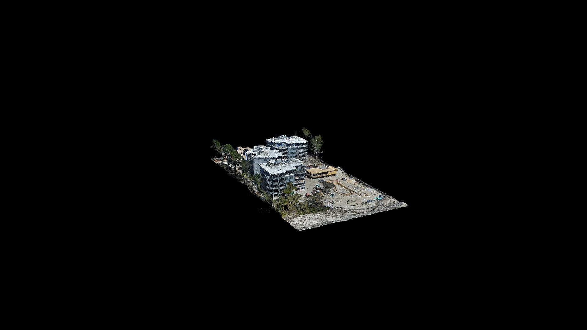
The Unmanned Aerial System (UAS) survey of a construction site provides an efficient and accurate method of capturing topographic data while minimizing the risk to personnel. The UAS is equipped with a high-resolution camera that captures detailed images and videos, which are then used to create a 3D model of the site. This allows for real-time monitoring of the project's progress and enables construction teams to identify any potential issues or discrepancies early on. Additionally, the UAS survey can be conducted during inclement weather conditions, reducing downtime and increasing productivity.
With this file you will be able to print Construction Site 3-10-18 with your 3D printer. Click on the button and save the file on your computer to work, edit or customize your design. You can also find more 3D designs for printers on Construction Site 3-10-18.