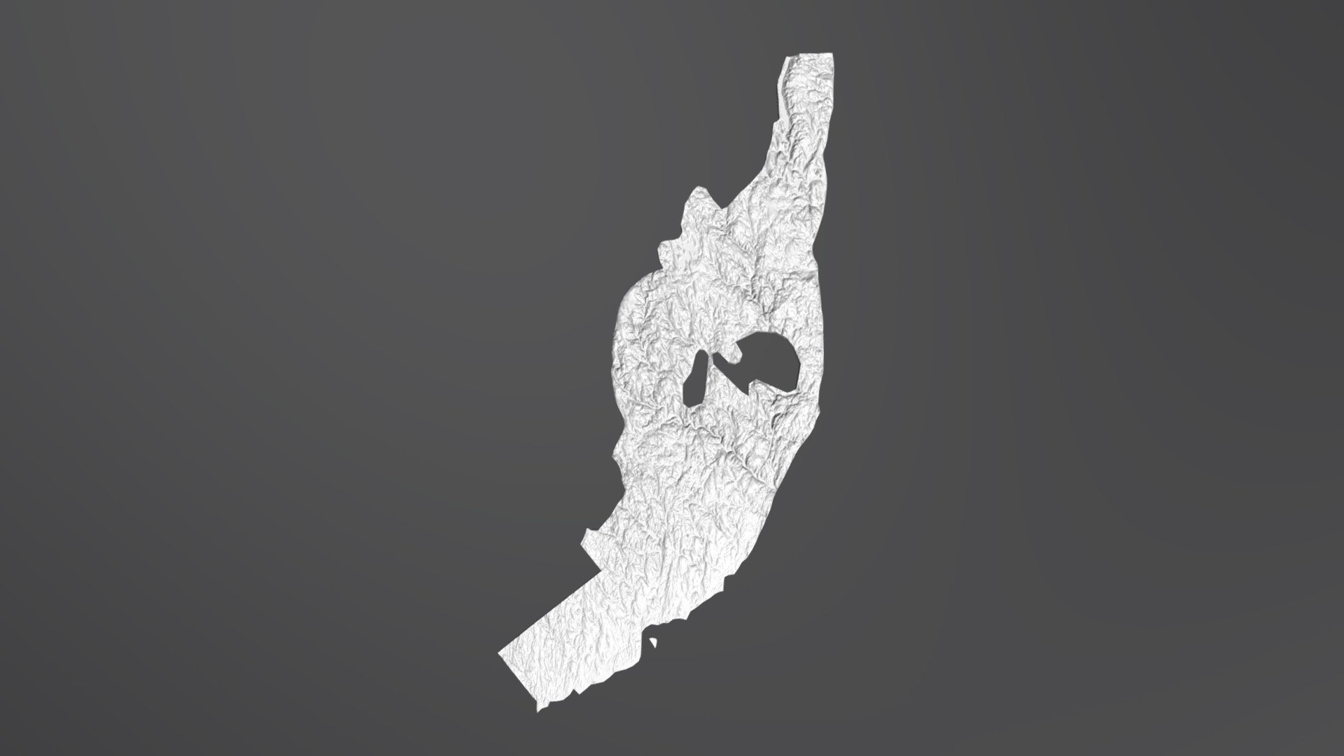
Connecticut Valley Synclinorium (CT Geology)
sketchfab
Connecticut's geological landscape is shaped by several tectonic terranes, one of which plays a significant role. A clear boundary between these terranes can be determined using the Connecticut GIS Bedrock Geology Map provided by the CT DEEP. To obtain accurate elevation data, researchers rely on the 1/3 arcsec digital elevation model available from the USGS National Map. This model does, however, exhibit gaps in certain areas: notably, the Waterbury Dome and a narrow strip of the Newark Basin, both of which belong to distinct geological periods - an older Proto-North America terrane and younger rifting respectively.
With this file you will be able to print Connecticut Valley Synclinorium (CT Geology) with your 3D printer. Click on the button and save the file on your computer to work, edit or customize your design. You can also find more 3D designs for printers on Connecticut Valley Synclinorium (CT Geology).
