Comune di Aviatico - Aviatico (BG)
sketchfab
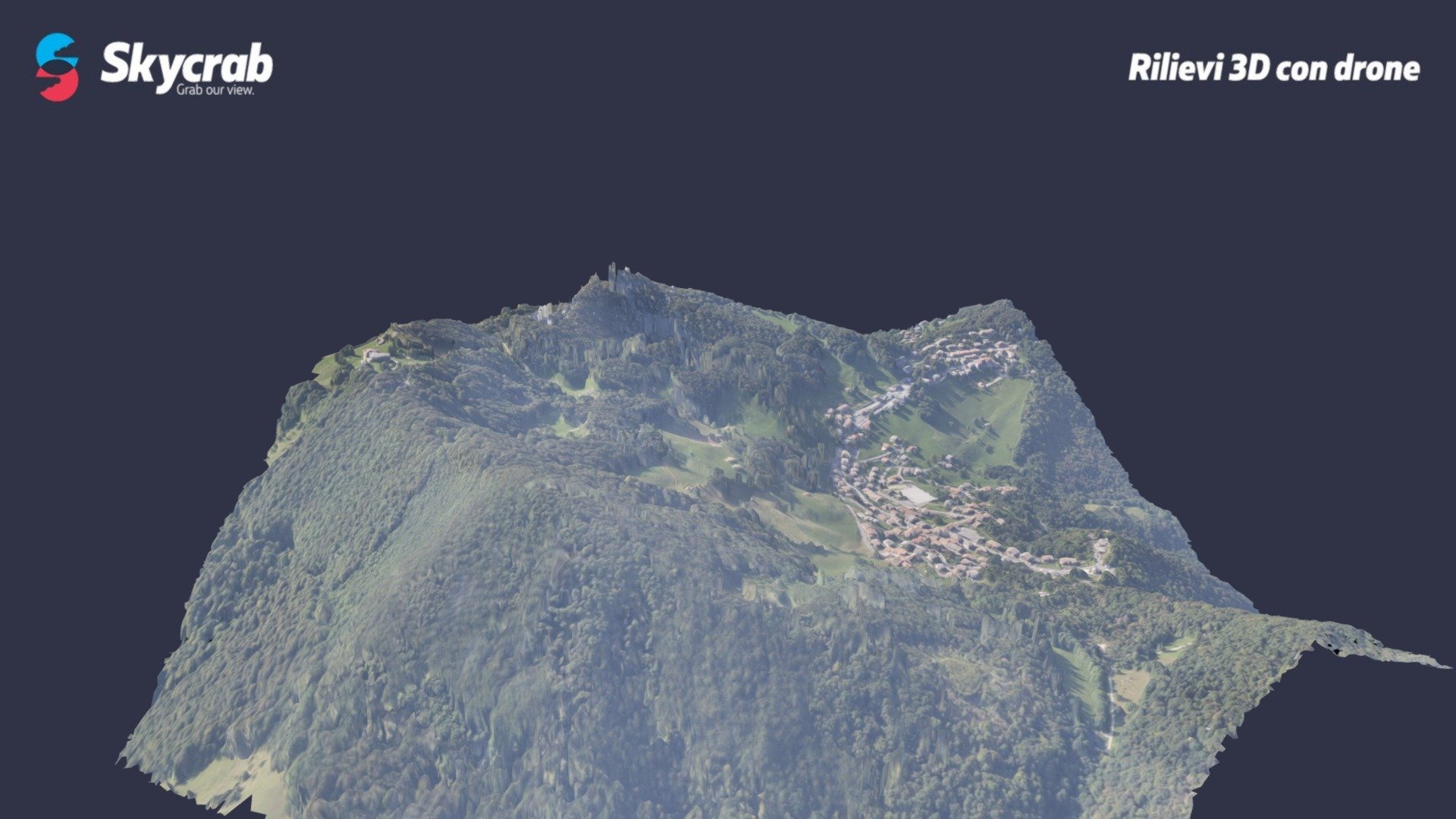
Photogrammetric survey conducted with a Cessna aircraft flying at an altitude of 2,300 feet to produce orthophotos and contour lines for territorial monitoring.
Download Model from sketchfab
With this file you will be able to print Comune di Aviatico - Aviatico (BG) with your 3D printer. Click on the button and save the file on your computer to work, edit or customize your design. You can also find more 3D designs for printers on Comune di Aviatico - Aviatico (BG).