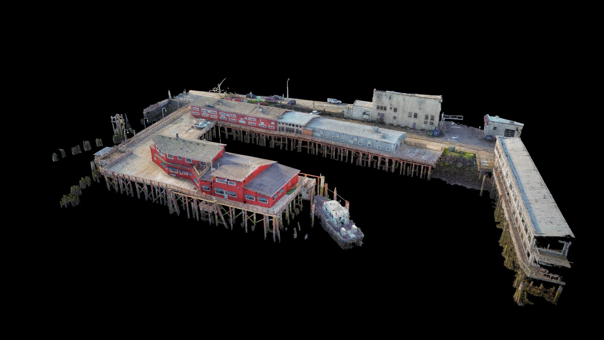
Columbia Pilots Photogrammetry Point Cloud
sketchfab
I had the chance to perform some high-quality mapping of a pier in Astoria, OR with my survey partner Magyar Land Surveying. This model was built from nearly 2100 photos and took me 3 full days to remove the inherent noise caused by the water between the wood pilings. I'm really proud of how well this turned out given the low morning light, shadows, and intricate features involved.
Download Model from sketchfab
With this file you will be able to print Columbia Pilots Photogrammetry Point Cloud with your 3D printer. Click on the button and save the file on your computer to work, edit or customize your design. You can also find more 3D designs for printers on Columbia Pilots Photogrammetry Point Cloud.
