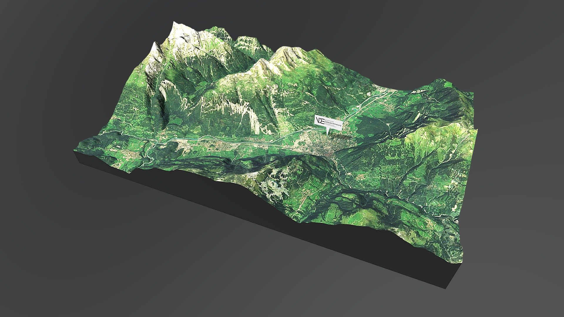
CHUR 3D Terrain Mapping
sketchfab
The advantages of an interactive topographic 3D map are obvious. Such maps have no thematic, spatial, or temporal boundaries. In a classic map, information is presented to the viewer in a flat layout. It's difficult for the map reader to link the content of a traditional topographic map with reality. 3D maps allow users to view the landscape in a three-dimensional form and from an optimal position due to the free choice of viewing angle. This makes them more intuitive and easier to understand than traditional topographic maps. We offer various options for rendering terrain maps in real-time. Choose a basic area on Google Maps, and we will render the selected area for you.
With this file you will be able to print CHUR 3D Terrain Mapping with your 3D printer. Click on the button and save the file on your computer to work, edit or customize your design. You can also find more 3D designs for printers on CHUR 3D Terrain Mapping.
