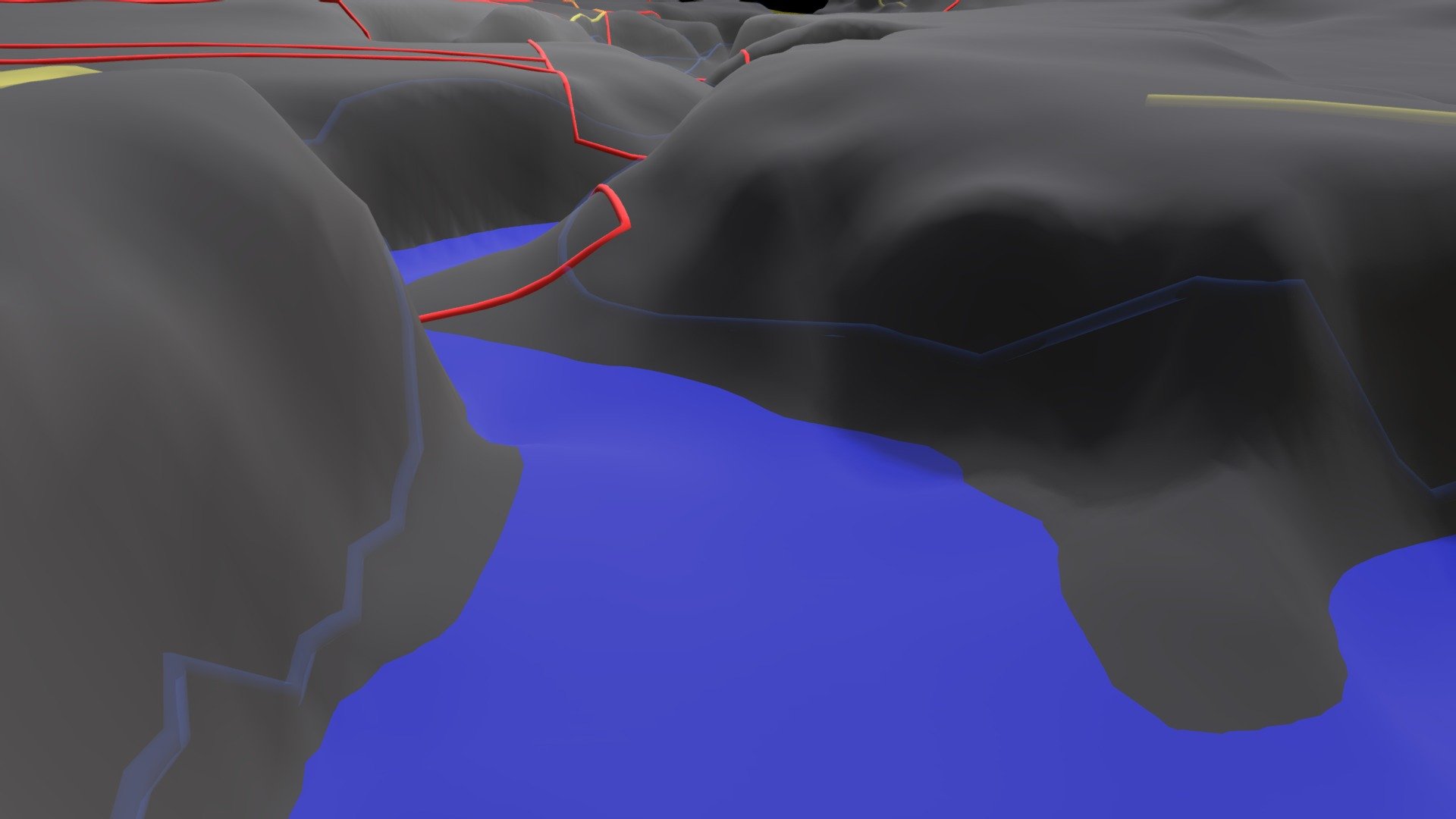
Chippewa River Flood Model
sketchfab
The Chippewa River flows majestically east of Mount Pleasant in Michigan, USA, between Isabella Road and Leaton Road. As the seasons change, animated water levels rise and fall, mirroring the natural flow of springtime baseflow to peak streamflow each year. The vertical perspective is intensified 30 times for a striking effect. Red plots on the map indicate parcels of land owned by the city of Mount Pleasant, while blue zones mark FEMA flood areas with an annual probability of 1% exceedance. Yellow lines represent public roads that crisscross the landscape. All data are approximate and sourced from publicly available information.
With this file you will be able to print Chippewa River Flood Model with your 3D printer. Click on the button and save the file on your computer to work, edit or customize your design. You can also find more 3D designs for printers on Chippewa River Flood Model.
