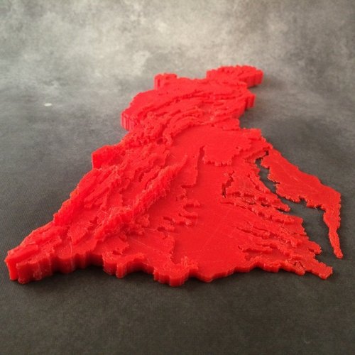
Chesapeake Bay Watershed Contour Map
pinshape
I need help creating a simpler way to make educational maps that illustrate how terrain affects water flow into the Chesapeake Bay. These maps were designed for a summer STEM camp and can be found at http://designmaketeach.com/2015/07/02/design-challenge-chesapeake-bay-watershed/. I used Tinkercad to create this map, which you can edit online at https://www.tinkercad.com/things/aq5nCOnZCEA.
Download Model from pinshape
With this file you will be able to print Chesapeake Bay Watershed Contour Map with your 3D printer. Click on the button and save the file on your computer to work, edit or customize your design. You can also find more 3D designs for printers on Chesapeake Bay Watershed Contour Map.
