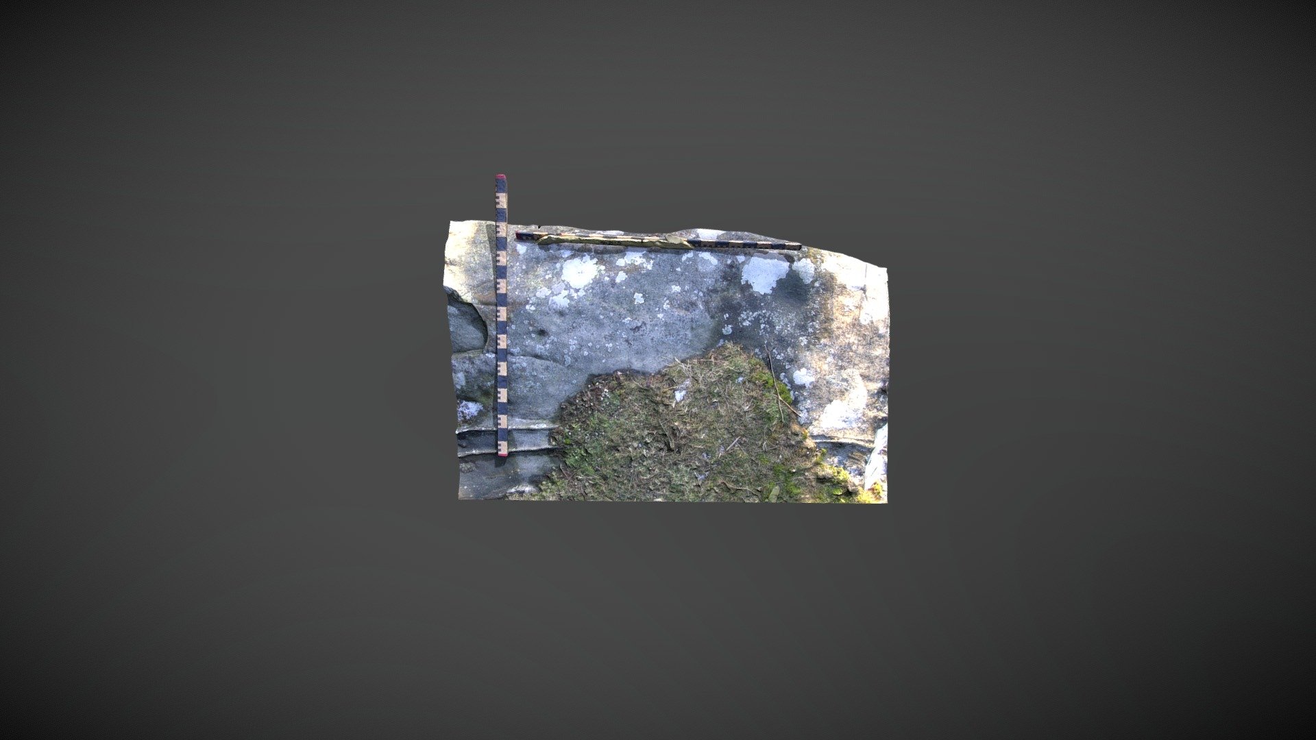
Chatton15b (March 2006)
sketchfab
Area of exposed bedrock boasting prehistoric carvings on a private farm near Chattonpark Hill, Chatton, Northumberland. This exposure is listed as 'Chatton 15b' in the Beckensall Archive (BA) and was added to ERA by NADRAP in 2008. The team notes: 'Two possible cups can be seen towards the south end of the stone, just north of the planar erosion. Whether these cups are man-made or naturally occurring is up for debate, but they match the size of more defined rock art in the area.' Near the center's northwestern edge, a large shallow circular depression is visible, likely caused by natural weathering due to silica/calcite weakness. ERA and BA information can be found at https://archaeologydataservice.ac.uk/era/section/panel/overview.jsf?eraId=115 The model was created using 5 stereo pairs captured by Joe Gibson (NADRAP Team 3) in March 2006. The imagery is part of the full NADRAP archive deposited with Historic England and Northumberland County Council.
With this file you will be able to print Chatton15b (March 2006) with your 3D printer. Click on the button and save the file on your computer to work, edit or customize your design. You can also find more 3D designs for printers on Chatton15b (March 2006).
