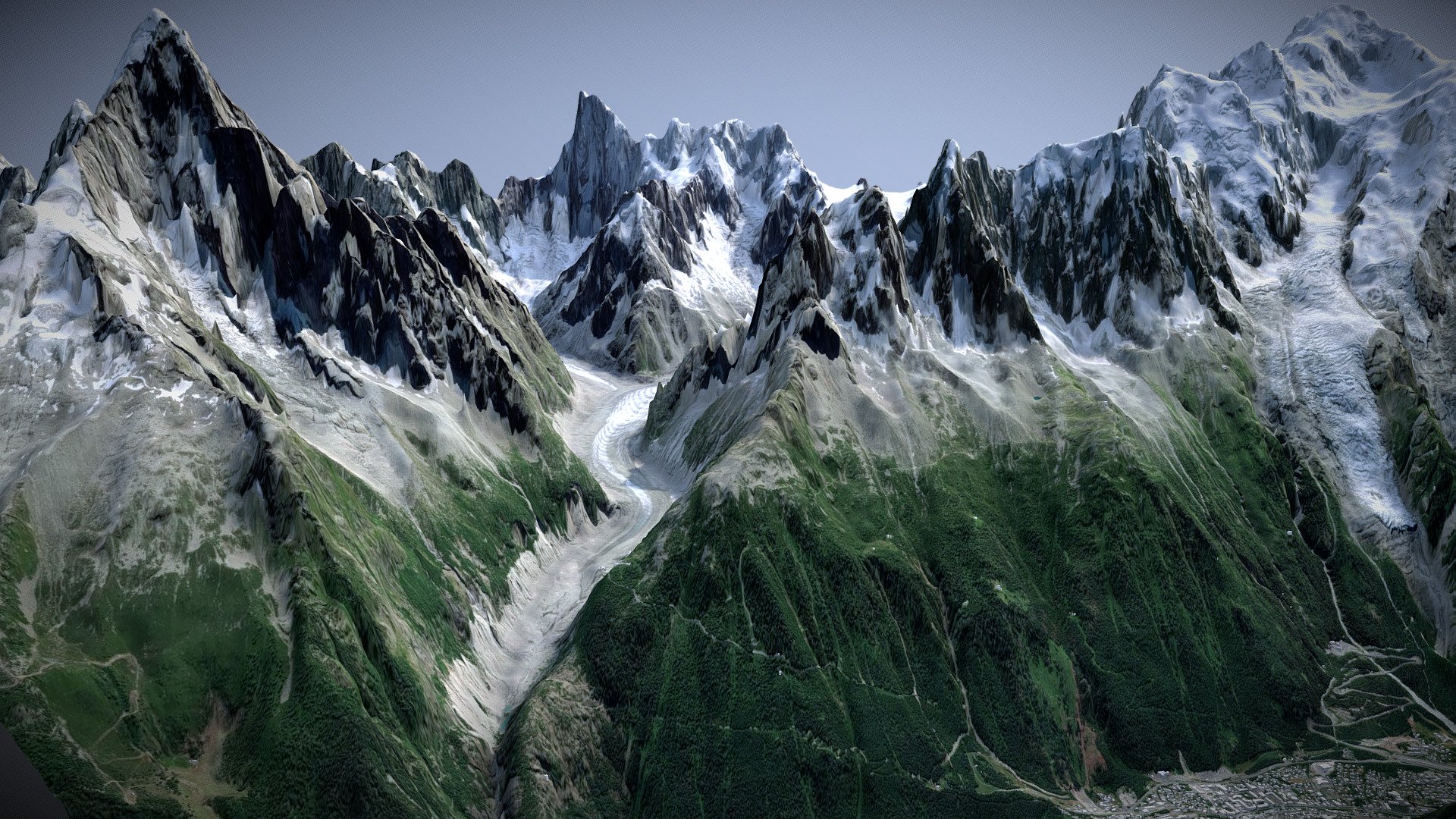
Chamonix, France
sketchfab
The DEM Net Elevation API is a powerful tool that utilizes the NASADEM digital elevation model to provide precise geographical data. This high-resolution imagery, courtesy of MapBox Satellite, allows users to visualize and analyze complex terrain with unparalleled clarity. By integrating OpenStreetMap data, the API delivers a comprehensive and up-to-date picture of the Earth's surface, empowering developers to create innovative applications that require accurate spatial information.
Download Model from sketchfab
With this file you will be able to print Chamonix, France with your 3D printer. Click on the button and save the file on your computer to work, edit or customize your design. You can also find more 3D designs for printers on Chamonix, France.
