Carte en relief de la ville de Bagnolet en 1920
sketchfab
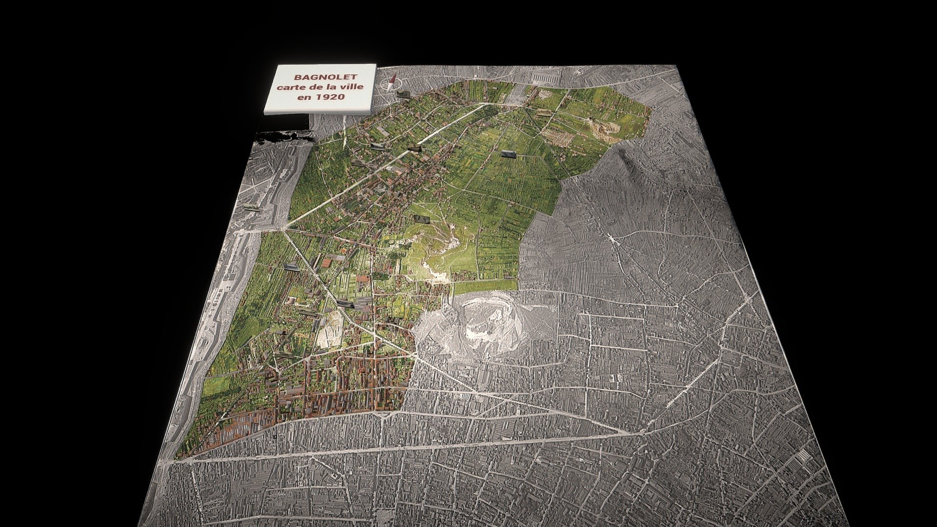
Virtual model of the city of Bagnolet in 1920 shows a rapidly growing population with industrial development over a century ago. Bagnolet is a city located near Paris, experiencing rapid population growth due to industry development a century ago. However, it still retains some rural aspects in certain neighborhoods despite urbanization progress. This relief map provides insight into the terrain and urbanization of that time. It was created using NASA topographic data from 1921 and assembled with vertical aerial photos from IGN.
With this file you will be able to print Carte en relief de la ville de Bagnolet en 1920 with your 3D printer. Click on the button and save the file on your computer to work, edit or customize your design. You can also find more 3D designs for printers on Carte en relief de la ville de Bagnolet en 1920.