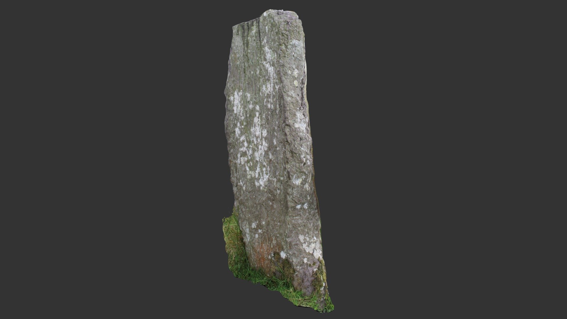
Caolmhagh Mór ogham stone
sketchfab
First noted by Brash in 1879, number 168. Situated on a gentle south-facing slope below the crest of a ridge used for rough grazing. A sandstone marker stands upright, measuring 1.3 meters high, 0.4 meters wide and 0.23 meters deep, leaning noticeably to the east. Accessible through http://webgis.archaeology.ie/historicenvironment/. The inscription is carefully carved and somewhat faded but still partially readable. Three-dimensional imagery was generated using photogrammetry from 37 distinct images and refined with Agisoft PhotoScan processing software.
With this file you will be able to print Caolmhagh Mór ogham stone with your 3D printer. Click on the button and save the file on your computer to work, edit or customize your design. You can also find more 3D designs for printers on Caolmhagh Mór ogham stone.
