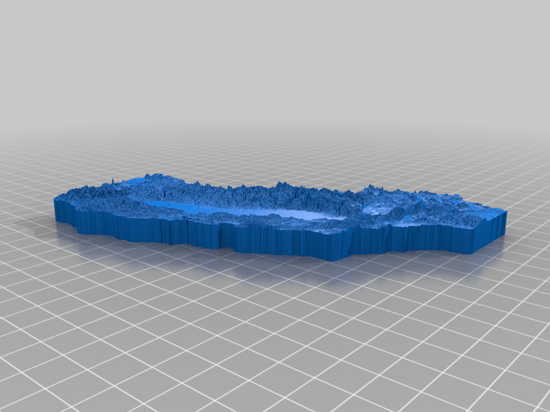
California Topographic Map
thingiverse
I used Terrain2STL (http://jthatch.com/Terrain2STL/) to convert the base model into a 3D format, then I removed California from the map using Blender's powerful editing tools. Next, I exaggerated the terrain features by adjusting the scaling and making adjustments as needed to achieve a more dramatic look. The scale of this terrain is not precisely accurate, but users can easily adjust the z-axis scaling to modify it to their liking. As this is my first upload on this platform, any feedback or suggestions are greatly appreciated.
With this file you will be able to print California Topographic Map with your 3D printer. Click on the button and save the file on your computer to work, edit or customize your design. You can also find more 3D designs for printers on California Topographic Map.
